MyTopo
La Gloria Texas US Topo Map
Couldn't load pickup availability
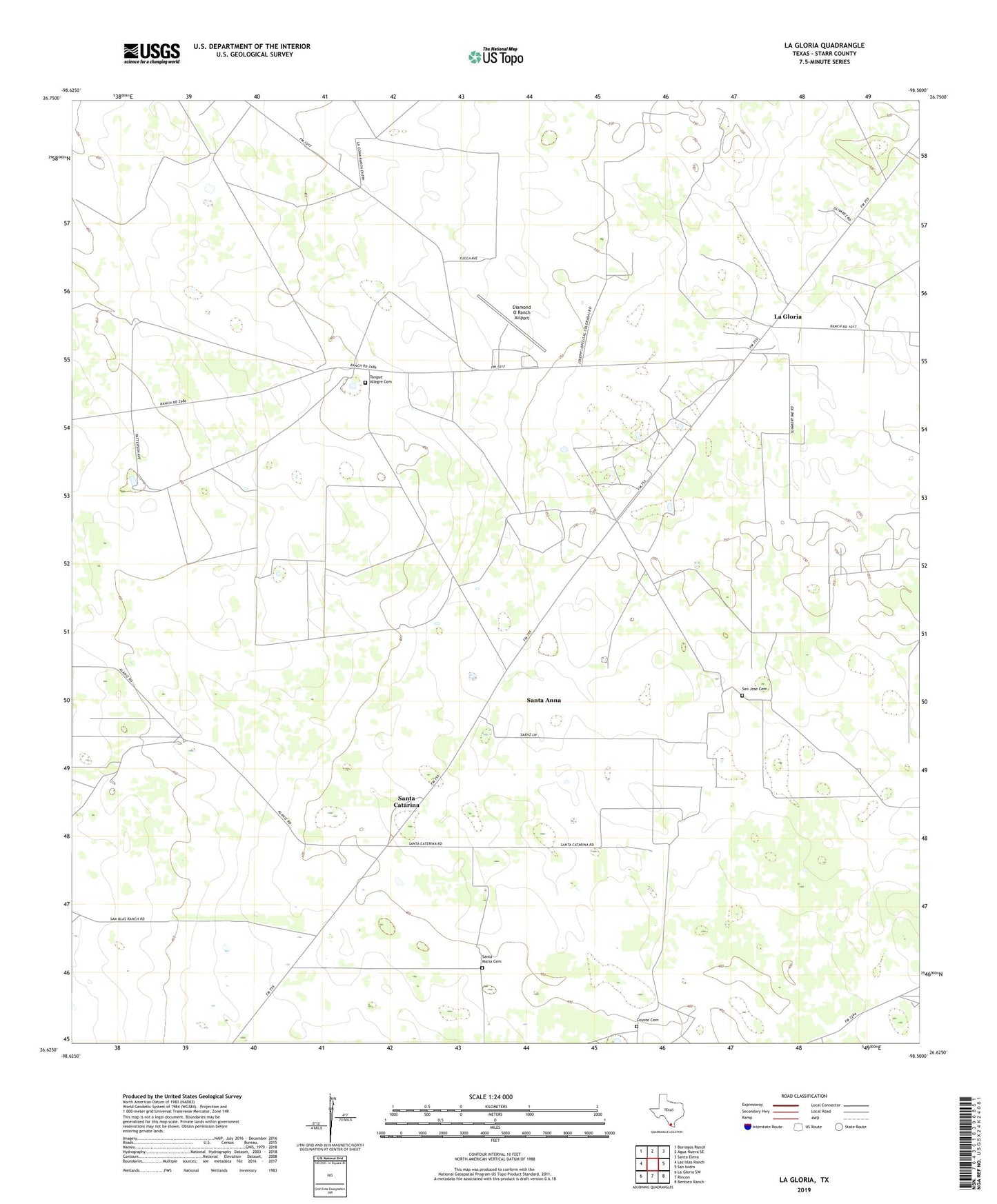
2019 topographic map quadrangle La Gloria in the state of Texas. Scale: 1:24000. Based on the newly updated USGS 7.5' US Topo map series, this map is in the following counties: Starr. The map contains contour data, water features, and other items you are used to seeing on USGS maps, but also has updated roads and other features. This is the next generation of topographic maps. Printed on high-quality waterproof paper with UV fade-resistant inks.
Quads adjacent to this one:
West: Las Islas Ranch
Northwest: Borregos Ranch
North: Agua Nueva SE
Northeast: Santa Elena
East: San Isidro
Southeast: Bentsen Ranch
South: Rincon
Southwest: La Gloria SW
Contains the following named places: Coyote Cemetery, Diamond O Ranch, Diamond O Ranch Airport, La Gloria, Robberson, San Jose Cemetery, Santa Anna, Santa Anna Census Designated Place, Santa Catarina, Santa Elena Post Office, Santa Maria Cemetery, Strong Oil Field, Tangue Allegre Cemetery