MyTopo
Santa Elena Texas US Topo Map
Couldn't load pickup availability
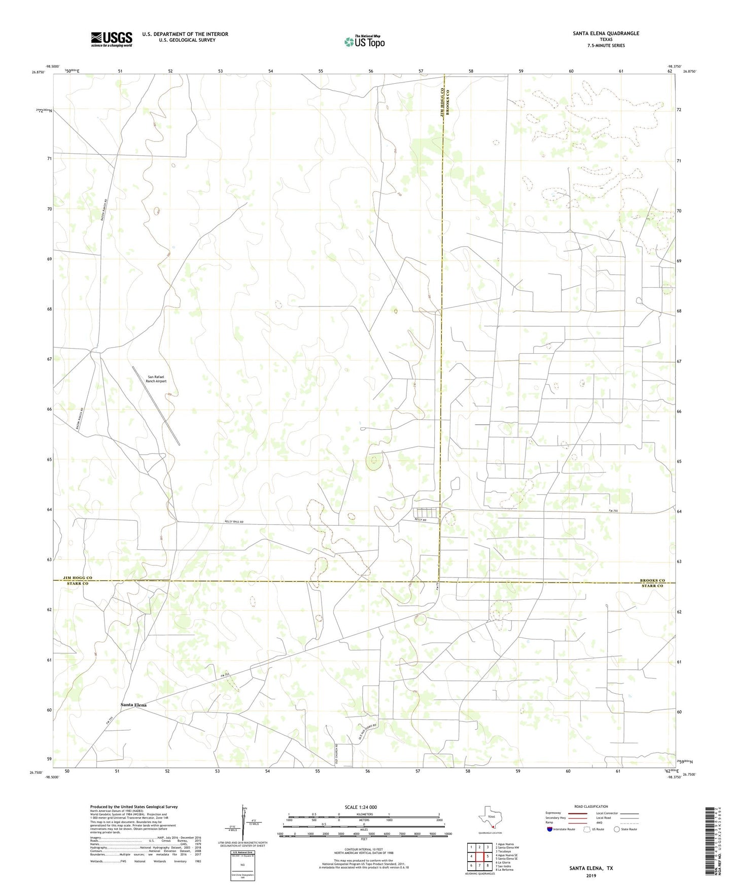
2022 topographic map quadrangle Santa Elena in the state of Texas. Scale: 1:24000. Based on the newly updated USGS 7.5' US Topo map series, this map is in the following counties: Jim Hogg, Brooks, Starr. The map contains contour data, water features, and other items you are used to seeing on USGS maps, but also has updated roads and other features. This is the next generation of topographic maps. Printed on high-quality waterproof paper with UV fade-resistant inks.
Quads adjacent to this one:
West: Agua Nueva SE
Northwest: Agua Nueva
North: Santa Elena NW
Northeast: Tacubaya
East: Santa Elena SE
Southeast: La Reforma
South: San Isidro
Southwest: La Gloria
This map covers the same area as the classic USGS quad with code o26098g4.
Contains the following named places: Blanco Windmill, Casa Blanca Windmill, Corrales Windmill, Escondido Windmill, Esteritos Windmill, Estrella Windmill, Kelsey Bass Camp, Kelsey Bass Oil Field, Kelsey Windmill, La Particion Ranch, Mercedes Windmill, Mirasol Windmill, Old Encinitos Windmill, San Rafael Ranch Airport, Santa Elena, Santa Teresa Windmill