MyTopo
La Pryor SE Texas US Topo Map
Couldn't load pickup availability
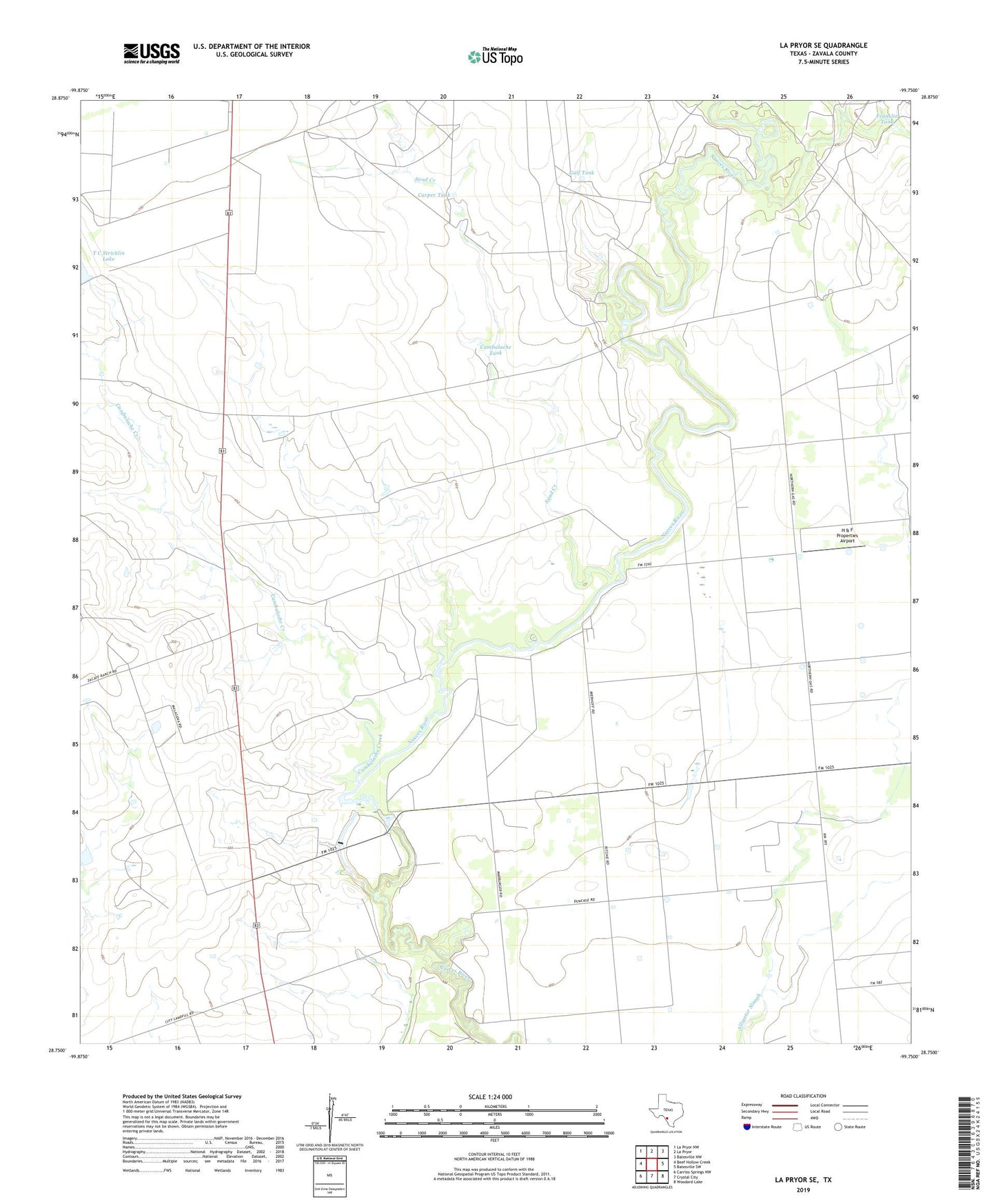
2019 topographic map quadrangle La Pryor SE in the state of Texas. Scale: 1:24000. Based on the newly updated USGS 7.5' US Topo map series, this map is in the following counties: Zavala. The map contains contour data, water features, and other items you are used to seeing on USGS maps, but also has updated roads and other features. This is the next generation of topographic maps. Printed on high-quality waterproof paper with UV fade-resistant inks.
Quads adjacent to this one:
West: Beef Hollow Creek
Northwest: La Pryor NW
North: La Pryor
Northeast: Batesville NW
East: Batesville SW
Southeast: Woodard Lake
South: Crystal City
Southwest: Carrizo Springs NW
Contains the following named places: Cambalache Creek, Cambalache Tank, Carper Tank, Crystal City Division, Franklin Tank, Gulf Tank, H & F Properties Airport, Nueces Campsite Lots Colonia, Sand Creek, T C Stricklin Lake Dam, Upper Dam, Upper Lake, Upper Lake Dam, Zavala County