MyTopo
Batesville NW Texas US Topo Map
Couldn't load pickup availability
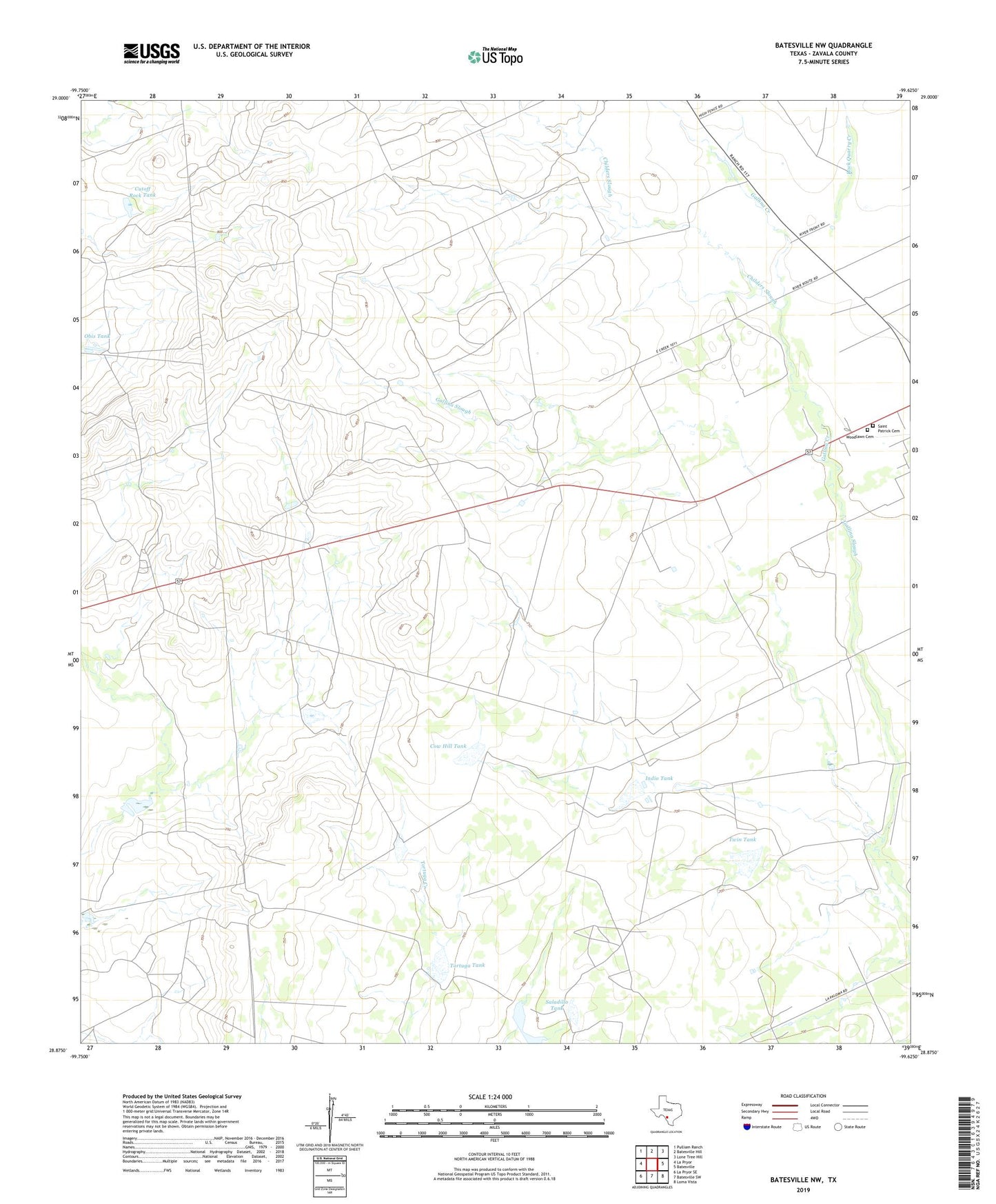
2022 topographic map quadrangle Batesville NW in the state of Texas. Scale: 1:24000. Based on the newly updated USGS 7.5' US Topo map series, this map is in the following counties: Zavala. The map contains contour data, water features, and other items you are used to seeing on USGS maps, but also has updated roads and other features. This is the next generation of topographic maps. Printed on high-quality waterproof paper with UV fade-resistant inks.
Quads adjacent to this one:
West: La Pryor
Northwest: Pulliam Ranch
North: Batesville Hill
Northeast: Lone Tree Hill
East: Batesville
Southeast: Loma Vista
South: Batesville SW
Southwest: La Pryor SE
This map covers the same area as the classic USGS quad with code o28099h6.
Contains the following named places: Childers Slough, Cow Hill Tank, Cow Hill Tank Dam, Cutoff Rock Tank, Gallina Creek, Indio Dam, Indio Tank, Kiefer Lake, Kiefer Lake Dam, Midway Camp, Obis Tank, Obis Well, Rock Quarry Creek, Saint Patrick Cemetery, Saladillo Tank, Tank Number Four, Tortuga Tank, Twin Tank, Twin Tank Dam, Woodlawn Cemetery