MyTopo
La Pryor Texas US Topo Map
Couldn't load pickup availability
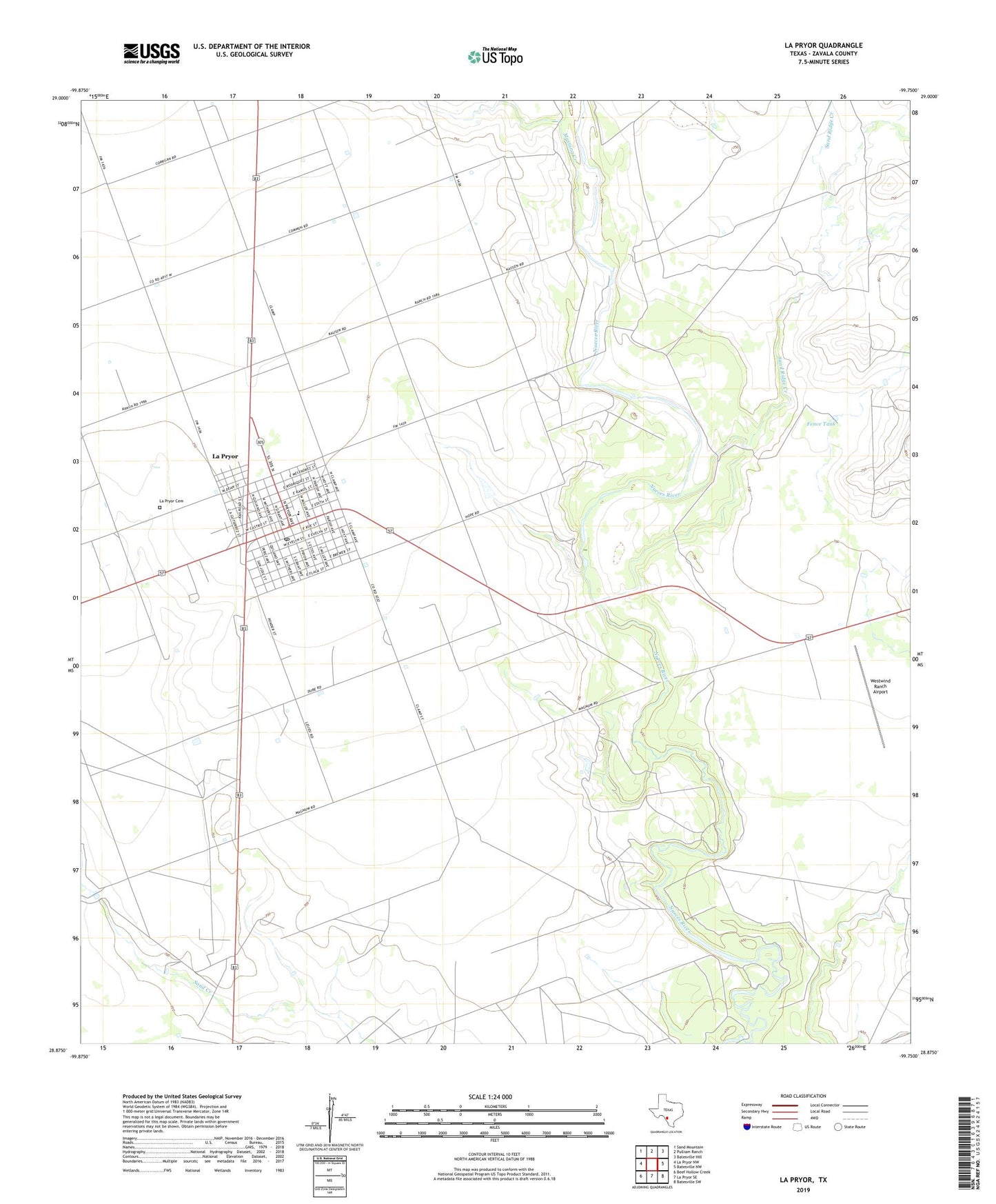
2019 topographic map quadrangle La Pryor in the state of Texas. Scale: 1:24000. Based on the newly updated USGS 7.5' US Topo map series, this map is in the following counties: Zavala. The map contains contour data, water features, and other items you are used to seeing on USGS maps, but also has updated roads and other features. This is the next generation of topographic maps. Printed on high-quality waterproof paper with UV fade-resistant inks.
Quads adjacent to this one:
West: La Pryor NW
Northwest: Sand Mountain
North: Pulliam Ranch
Northeast: Batesville Hill
East: Batesville NW
Southeast: Batesville SW
South: La Pryor SE
Southwest: Beef Hollow Creek
Contains the following named places: Evans Lake, Fence Tank, Knowles Reservoir, Knowles Reservoir Dam, La Paloma Ranch Airport, La Pryor, La Pryor Cemetery, La Pryor Census Designated Place, La Pryor Post Office, Mustang Creek, Sand Ridge Creek, Westwind Ranch Airport, ZIP Code: 78872