MyTopo
Leesville Texas US Topo Map
Couldn't load pickup availability
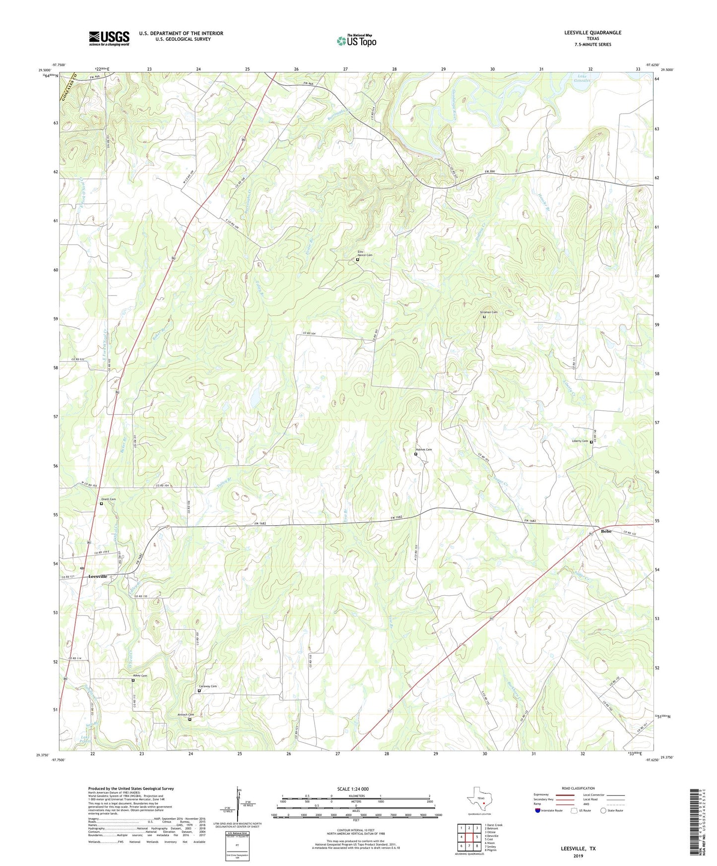
2022 topographic map quadrangle Leesville in the state of Texas. Scale: 1:24000. Based on the newly updated USGS 7.5' US Topo map series, this map is in the following counties: Gonzales, Guadalupe. The map contains contour data, water features, and other items you are used to seeing on USGS maps, but also has updated roads and other features. This is the next generation of topographic maps. Printed on high-quality waterproof paper with UV fade-resistant inks.
Quads adjacent to this one:
West: Dewville
Northwest: Darst Creek
North: Belmont
Northeast: Ottine
East: Cost
Southeast: Pilgrim
South: Smiley
Southwest: Nixon
This map covers the same area as the classic USGS quad with code o29097d6.
Contains the following named places: Antioch Cemetery, Askey Cemetery, Baker Branch, Bebe, Caraway Cemetery, Dullnig Creek, Ellis-Nance Cemetery, Foster Branch, Greater Palestine Church, Hausler Branch, Holmes Cemetery, Lake Gonzales, Lake H-4, Lake Pruett, Leesville, Leesville Post Office, Leesville Schoolhouse, Liberty Cemetery, Luling Public Library, Nixon Division, Oak Valley Church, Oneill Cemetery, Salt Branch, Stroman Cemetery, Talley Branch, ZIP Code: 78122