MyTopo
Linn NE Texas US Topo Map
Couldn't load pickup availability
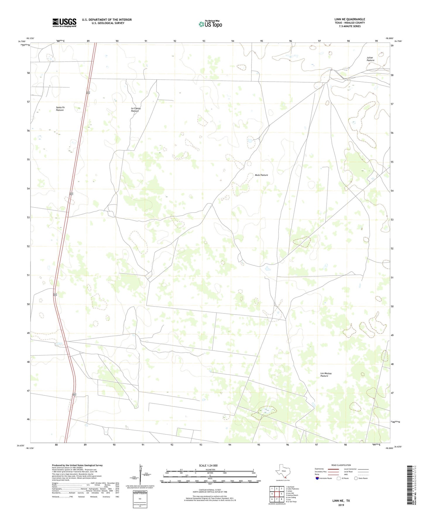
2019 topographic map quadrangle Linn NE in the state of Texas. Scale: 1:24000. Based on the newly updated USGS 7.5' US Topo map series, this map is in the following counties: Hidalgo. The map contains contour data, water features, and other items you are used to seeing on USGS maps, but also has updated roads and other features. This is the next generation of topographic maps. Printed on high-quality waterproof paper with UV fade-resistant inks.
Quads adjacent to this one:
West: Linn NW
Northwest: Hartland
North: Callo Padrones
Northeast: Julian
East: Andrea Ranch
Southeast: La Sal Vieja
South: Linn
Southwest: Linn Siding
Contains the following named places: Adrien Windmill, Buena Vista Windmill, Cantinas Pens, Chorro Windmill, Colorado Windmill, El Golfo Windmill, Esteban Windmill, La Copita Pasture, La Copita Windmill, Los Machos Pasture, Los Machos Well, Maria Chavez Windmill, Mesquitin Well, Mula Pasture, Mula Well, San Carlos Windmill, San Pedro Windmill, Tampico Windmill, Todos Santos Windmill, Tres Pilas Windmill