MyTopo
Long Draw Texas US Topo Map
Couldn't load pickup availability
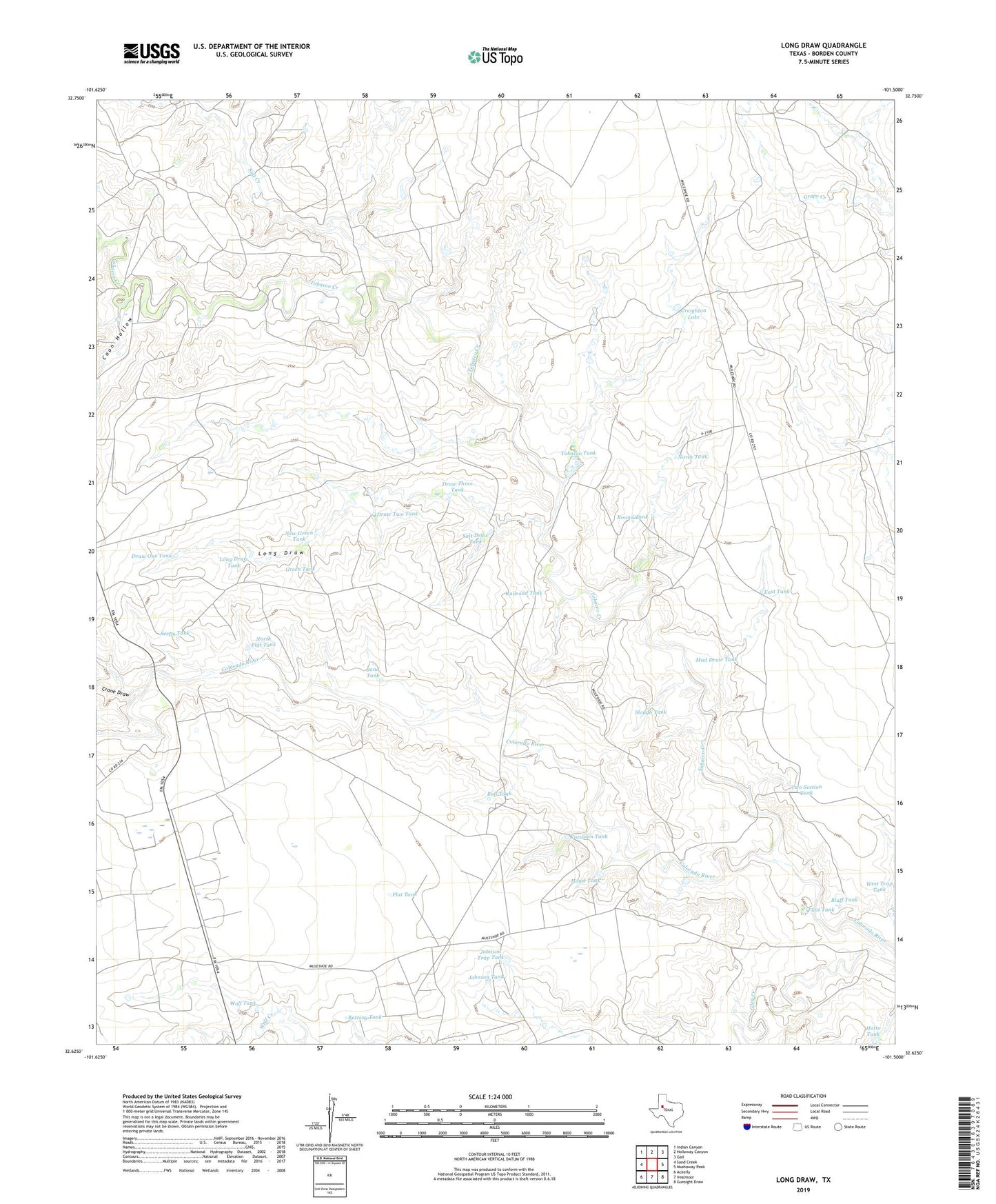
2022 topographic map quadrangle Long Draw in the state of Texas. Scale: 1:24000. Based on the newly updated USGS 7.5' US Topo map series, this map is in the following counties: Borden. The map contains contour data, water features, and other items you are used to seeing on USGS maps, but also has updated roads and other features. This is the next generation of topographic maps. Printed on high-quality waterproof paper with UV fade-resistant inks.
Quads adjacent to this one:
West: Sand Creek
Northwest: Indian Canyon
North: Holloway Canyon
Northeast: Gail
East: Mushaway Peak
Southeast: Gunsight Draw
South: Vealmoor
Southwest: Ackerly
This map covers the same area as the classic USGS quad with code o32101f5.
Contains the following named places: Anderson Home Tank Dam, Anderson Tobacco Tank Dam, Battery Tank, Bluff Tank, Bull Tank, Coon Hollow, Crane Draw, Creighton Lake, Creighton Lake Dam, Draw One Tank, Draw Three Tank, Draw Two Tank, East Tank, Flat Tank, Flint Tank, Good Oil Field, Green Tank, Home Tank, Hutto Tank, Johnson Tank, Johnson Trap Tank, Long Draw, Long Draw Tank, Mud Draw Tank, Muleshoe Ranch, New Green Tank, North Flat Tank, North Tank, Railroad Tank, Round Tank, Salt Creek, Salt Draw Tank, Sand Tank, Seepy Tank, Slough Tank, Tobacco Creek, Tobacco Tank, Two Section Tank, Vacation Tank, Wolf Tank