MyTopo
Long Mountain Texas US Topo Map
Couldn't load pickup availability
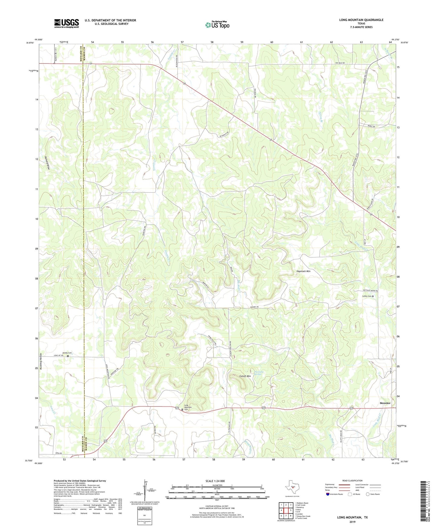
2022 topographic map quadrangle Long Mountain in the state of Texas. Scale: 1:24000. Based on the newly updated USGS 7.5' US Topo map series, this map is in the following counties: Mason, Menard. The map contains contour data, water features, and other items you are used to seeing on USGS maps, but also has updated roads and other features. This is the next generation of topographic maps. Printed on high-quality waterproof paper with UV fade-resistant inks.
Quads adjacent to this one:
West: Hext
Northwest: Robbers Roost
North: Calf Creek
Northeast: Katemcy
East: Grit
Southeast: Turtle Creek
South: Sheep Run Creek
Southwest: London
This map covers the same area as the classic USGS quad with code o30099g4.
Contains the following named places: Coffey Cemetery, Cutoff Mountain, Erna, Haystack Mountain, Jacoby Cemetery, Long Mountain Cemetery, Long Mountain Community Center, Pluenneke Springs, Streeter