MyTopo
Lost Creek Texas US Topo Map
Couldn't load pickup availability
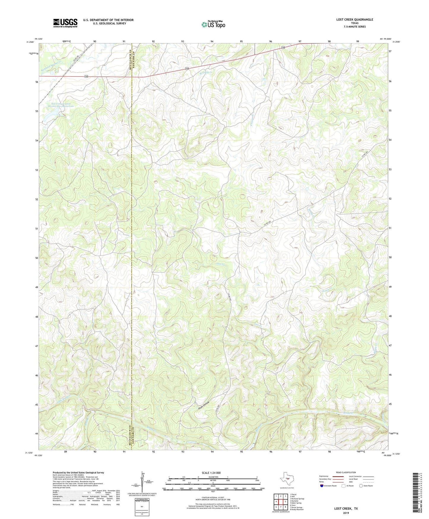
2022 topographic map quadrangle Lost Creek in the state of Texas. Scale: 1:24000. Based on the newly updated USGS 7.5' US Topo map series, this map is in the following counties: San Saba, McCulloch. The map contains contour data, water features, and other items you are used to seeing on USGS maps, but also has updated roads and other features. This is the next generation of topographic maps. Printed on high-quality waterproof paper with UV fade-resistant inks.
Quads adjacent to this one:
West: Rochelle
Northwest: Placid
North: Hall
Northeast: Richland Springs
East: Baker Spring
Southeast: Brady Mountain
South: Pecan Springs
Southwest: Voca
This map covers the same area as the classic USGS quad with code o31099b1.
Contains the following named places: Camp Billy Gibbons, Honey Creek, Little Brady Creek, Lost Creek, Plum Hollow, Soil Conservation Service Site 1 Dam, Soil Conservation Service Site 1 Reservoir