MyTopo
Magers Crossing Texas US Topo Map
Couldn't load pickup availability
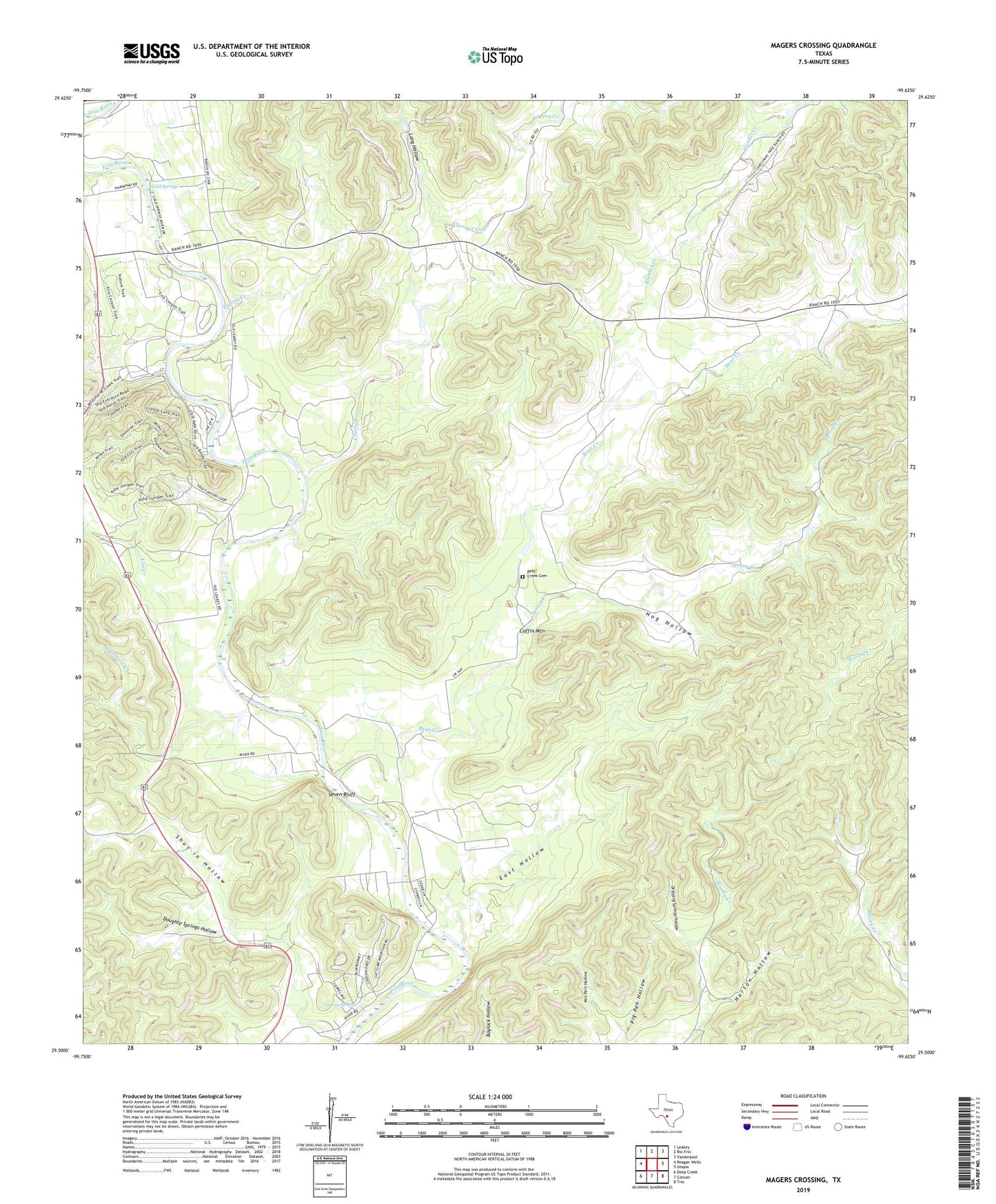
2022 topographic map quadrangle Magers Crossing in the state of Texas. Scale: 1:24000. Based on the newly updated USGS 7.5' US Topo map series, this map is in the following counties: Uvalde, Real. The map contains contour data, water features, and other items you are used to seeing on USGS maps, but also has updated roads and other features. This is the next generation of topographic maps. Printed on high-quality waterproof paper with UV fade-resistant inks.
Quads adjacent to this one:
West: Reagan Wells
Northwest: Leakey
North: Rio Frio
Northeast: Vanderpool
East: Utopia
Southeast: Trio
South: Concan
Southwest: Deep Creek
This map covers the same area as the classic USGS quad with code o29099e6.
Contains the following named places: Bailey Creek, Bear Creek, Bear Creek Cemetery, Blanket Creek, Camp Fairview, Cherry Creek, Cherry Valley Ranch, Coffin Mountain, Cold Spring Ranch, Cold Springs, Cowan Springs, Davis Ranch, Doughty Springs Hollow, Dripping Springs Hollow, East Hollow, Ellis Camp, Elm Creek, Garner State Park, Garner State Park Trail, Hog Hollow, Hoover Ranch, Horton Hollow, Kelly Ranch, Long Hollow, Magers Crossing, McGruder Ranch, Pailing Creek, Peck Ranch, Pig Pen Hollow, Rancho Chula Vista, Second Crossing, Seven Bluff, Spring Creek, Sycamore Creek, Third Crossing, ZIP Code: 78838