MyTopo
Magill Mountain Texas US Topo Map
Couldn't load pickup availability
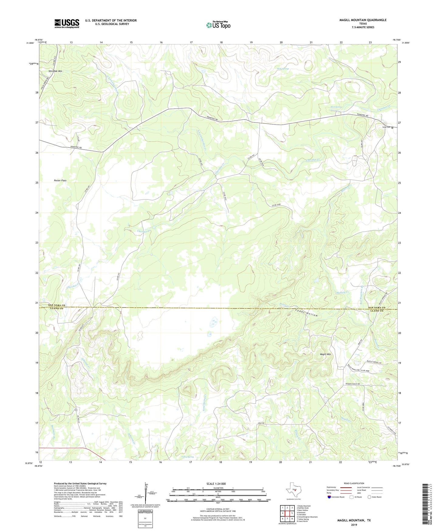
2019 topographic map quadrangle Magill Mountain in the state of Texas. Scale: 1:24000. Based on the newly updated USGS 7.5' US Topo map series, this map is in the following counties: San Saba, Llano. The map contains contour data, water features, and other items you are used to seeing on USGS maps, but also has updated roads and other features. This is the next generation of topographic maps. Printed on high-quality waterproof paper with UV fade-resistant inks.
Quads adjacent to this one:
West: Pontotoc
Northwest: Brady Mountain
North: Buffalo Knob
Northeast: Bear Hollow
East: Cherokee
Southeast: Llano North
South: Valley Spring
Southwest: Smoothingiron Mountain
Contains the following named places: Cedar Hollow, Gray Cemetery, Heck Springs, Hext Spring, Hickory Creek, Magill Mountain, North Fork Cherokee Creek, Potter Flats, Red Mountain Branch, Shin Oak Mountain, Valley Spring