MyTopo
Bear Hollow Texas US Topo Map
Couldn't load pickup availability
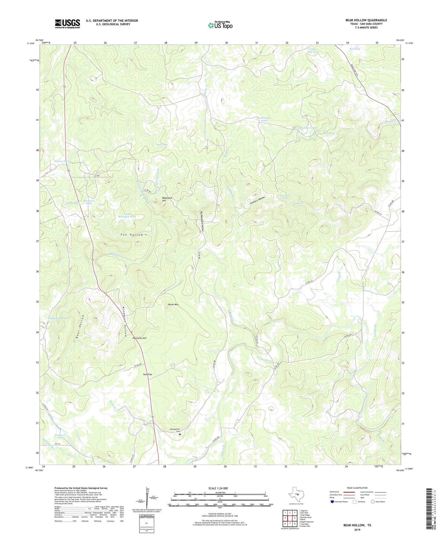
2022 topographic map quadrangle Bear Hollow in the state of Texas. Scale: 1:24000. Based on the newly updated USGS 7.5' US Topo map series, this map is in the following counties: San Saba. The map contains contour data, water features, and other items you are used to seeing on USGS maps, but also has updated roads and other features. This is the next generation of topographic maps. Printed on high-quality waterproof paper with UV fade-resistant inks.
Quads adjacent to this one:
West: Buffalo Knob
Northwest: Algerita
North: San Saba
Northeast: Wolf Ridge
East: Bend
Southeast: Indian Hills
South: Cherokee
Southwest: Magill Mountain
This map covers the same area as the classic USGS quad with code o31098a6.
Contains the following named places: Bear Hollow, Bear Hollow Windmill, Big Blackjack Hollow, Blackgate Windmill, Blackjack Hill, Blackjack Pond, Buffalo Creek, Camphouse Windmill, Cowhorn Hollow, Dick Hooten Branch, East Fork Dick Hooten Branch, Evans Tank, Flying V Ranch, Fourmile Hill, Fox Hollow, Gregg Branch, High Pond, Highway Windmill, Horse Mountain, Hubbard Tank, Jackson Branch, Jim Ned Tank, KFRJ-FM (San Saba), Klondike Branch, Lambert Branch, Little Blackjack Pond, Little Silly Tank, Martin Lease Windmill, McDonald Branch, Montgomery Cemetery, North Windmill, Rattlesnake Pond, Red Tank, Salt Branch, Section Tank, South Windmill, West Fork Dick Hooten Branch, Windmill Hollow, Woodward Pond, Woodward Springs, York Flat