MyTopo
Marshall East Texas US Topo Map
Couldn't load pickup availability
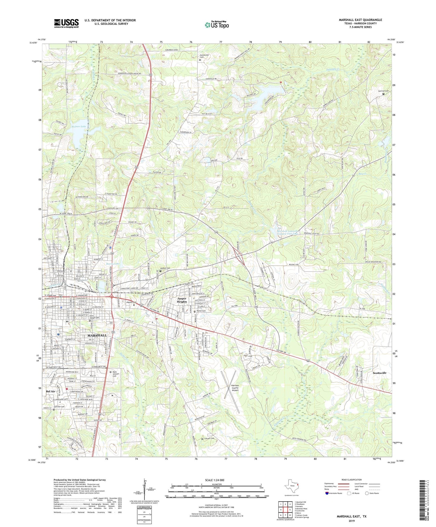
2022 topographic map quadrangle Marshall East in the state of Texas. Scale: 1:24000. Based on the newly updated USGS 7.5' US Topo map series, this map is in the following counties: Harrison. The map contains contour data, water features, and other items you are used to seeing on USGS maps, but also has updated roads and other features. This is the next generation of topographic maps. Printed on high-quality waterproof paper with UV fade-resistant inks.
Quads adjacent to this one:
West: Marshall West
Northwest: Marshall NW
North: Woodlawn
Northeast: Karnack
East: Scottsville
Southeast: Stricklin Springs
South: Colliers Creek
Southwest: Darco
This map covers the same area as the classic USGS quad with code o32094e3.
Contains the following named places: Algoma Cemetery, Arnot House, Bel Air, Bel Air Baptist Church, Bel Air Church, Bell Street Baptist Church, Calvary Cemetery, Calvary Church, Christus Good Shepherd Medical Center - Marshall, Church of Christ Eastern Hills, Church of Christ South Washington, City of Marshall, City of Scottsville, Clearview Baptist Church, Crockett Elementary School, Cumberland Presbyterian Church, David Crockett School, Dunbar School, East End Church, East Texas Baptist University, Ebenezer Methodist Church, Emmanuel Seventh Day Adventist Church, Fairview Baptist Church, Fairview Cemetery, Fairview Church, Fairview Cumberland Church, First Baptist Church, First Church of the Nazarene, First Presbyterian Church, Franks Antique Doll Musum, Fry-Barry House, Gainesville, Gainesville Cemetery, Gainsville Church, Ginocchio Historic District, Good Hope Church, Grace Missionary Baptist Church, Greater Oak Grove Baptist Church, Greater Oak Grove Church, Green Hill Church, Greenhill Baptist Church, Hagerty House, Harris Back Lake, Harris Back Lake Dam, Harris Front Lake, Harris Front Lake Dam, Harris Lake, Harrison County, Harrison County Airport, Harrison County Constable's Office Precinct 4, Harrison County Courthouse, Harrison County Jail, Harrison County Sheriff's Office, Hill Crest Church, Hochwald House, Holmes Church, Holmes Dam, Holmes Lake, Hudson Cemetery, James Turner House, Jasper Heights, John R. Stinson House, KBWC-FM (Marshall), Key Creek, KMHT-AM (Marshall), KMHT-FM (Marshall), Lake Shadowood Dam, Lake Shadowood Reservoir, Macedonia Baptist Church, Mack Johnson Cemetery, Marshall, Marshall / Harrison County Ambulance Service, Marshall City Hall, Marshall City Park, Marshall Evangelical Presbyterian Church, Marshall Fire Department Station 2, Marshall Fire Department Station 4, Marshall High School, Marshall Junior High School, Marshall Lakeside Country Club Dam, Marshall Lakeside Country Club Lake, Marshall Police Department, Marshall Post Office, Maverick Baseball Field, Maverick Stadium, Michelson Museum of Art, Miller Park, Mount Olive Number 1 Church, Mount Olive Number 2 Church, New Hope Church, Nichol Cemetery, Oak Trail Park, Old Pierce House, Opportunity Center School, Pemberton High School, Pine Bluff Church, Port Caddo Church, R E Lee Elementary School, Robert E Lee School, Saint Joseph Baptist Church, Saint Joseph Cemetery, Saint Joseph School, Saint Mark Baptist Church, Saint Paul Church, Sam Houston Middle School, Sam Houston School, Second Baptist Church, Shadowwood Volunteer Fire Department, Sherrod Cemetery, South Marshall Elementary School, South Marshall School, Sunset Church, Sunset Missionary Baptist Church, Texas Department of Public Safety - Highway Patrol Office, Texas Forest Service Marshall Office, Travis School, Trinity Episcopal Church, United States Courthouse, United States Marshal's Office, Van Zanot School, Victory Drive Church of God in Christ, Weisman-Hirsch House, Wesley United Methodist Church, William B Travis Elementary School, Woodlawn Gas Field, Wyatt Park


