MyTopo
Stricklin Springs Texas US Topo Map
Couldn't load pickup availability
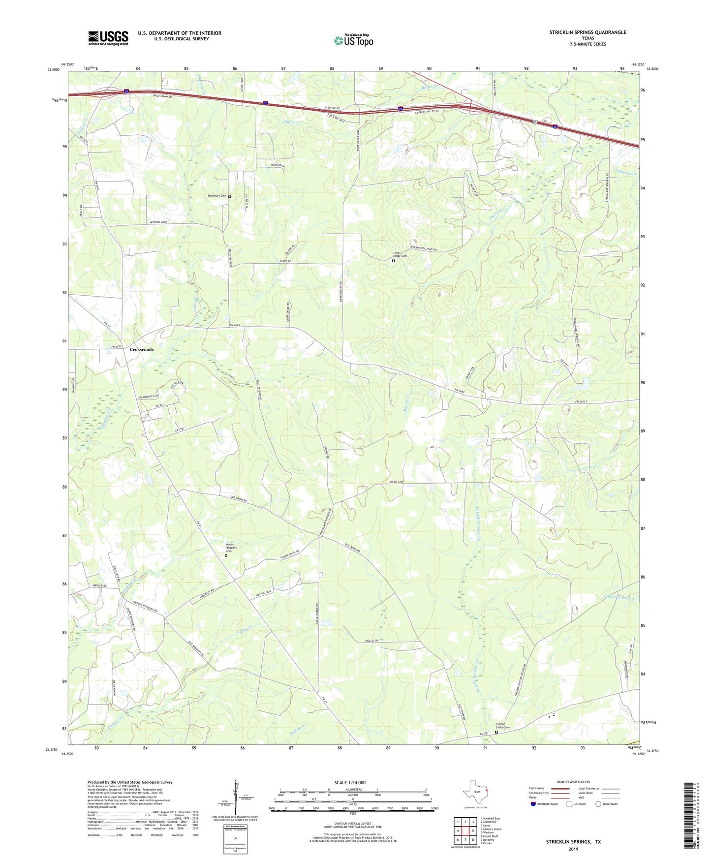
2022 topographic map quadrangle Stricklin Springs in the state of Texas. Scale: 1:24000. Based on the newly updated USGS 7.5' US Topo map series, this map is in the following counties: Harrison, Panola. The map contains contour data, water features, and other items you are used to seeing on USGS maps, but also has updated roads and other features. This is the next generation of topographic maps. Printed on high-quality waterproof paper with UV fade-resistant inks.
Quads adjacent to this one:
West: Colliers Creek
Northwest: Marshall East
North: Scottsville
Northeast: Latex
East: Waskom
Southeast: Panola
South: De Berry
Southwest: Grand Bluff
This map covers the same area as the classic USGS quad with code o32094d2.
Contains the following named places: Belview Church, Crossroads, Elysian Fields Cemetery, Elysian Fields Elementary School, Elysian Fields Lookout Tower, Elysian Fields School, Elysian Gas Field, Granbury Cemetery, Harrison County Constable's Office, Long Ridge Cemetery, Long Ridge Church, Mount Prospect Cemetery, Mount Prospect Church, Po-Boy, Stricklin Springs