MyTopo
Woodlawn Texas US Topo Map
Couldn't load pickup availability
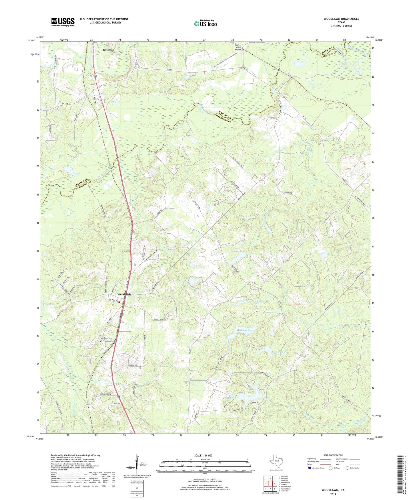
2022 topographic map quadrangle Woodlawn in the state of Texas. Scale: 1:24000. Based on the newly updated USGS 7.5' US Topo map series, this map is in the following counties: Harrison, Marion. The map contains contour data, water features, and other items you are used to seeing on USGS maps, but also has updated roads and other features. This is the next generation of topographic maps. Printed on high-quality waterproof paper with UV fade-resistant inks.
Quads adjacent to this one:
West: Marshall NW
Northwest: Kellyville
North: Jefferson
Northeast: Smithland
East: Karnack
Southeast: Scottsville
South: Marshall East
Southwest: Marshall West
This map covers the same area as the classic USGS quad with code o32094f3.
Contains the following named places: Bonita Lake, Colliers Chapel, Conners Chapel, Cypress Chapel, Cypress River Airport, Fern Lake, First Methodist Church, Friendship Church, Greater Friendship Church, Highland Lake, Highland Lake Dam, Lake Fern Dam, Lake Fern Reservoir, Lake Margret, Lake Margret Dam, Mount Zion Church, Pope City, Sanders Lake, Sanders Lake Dam, Starlight Church, Woodlawn, Woodlawn Cemetery, Woodlawn Church, Woodlawn Oil Field, Woodlawn Post Office, Woodlawn Volunteer Fire Department