MyTopo
McKinney Springs Texas US Topo Map
Couldn't load pickup availability
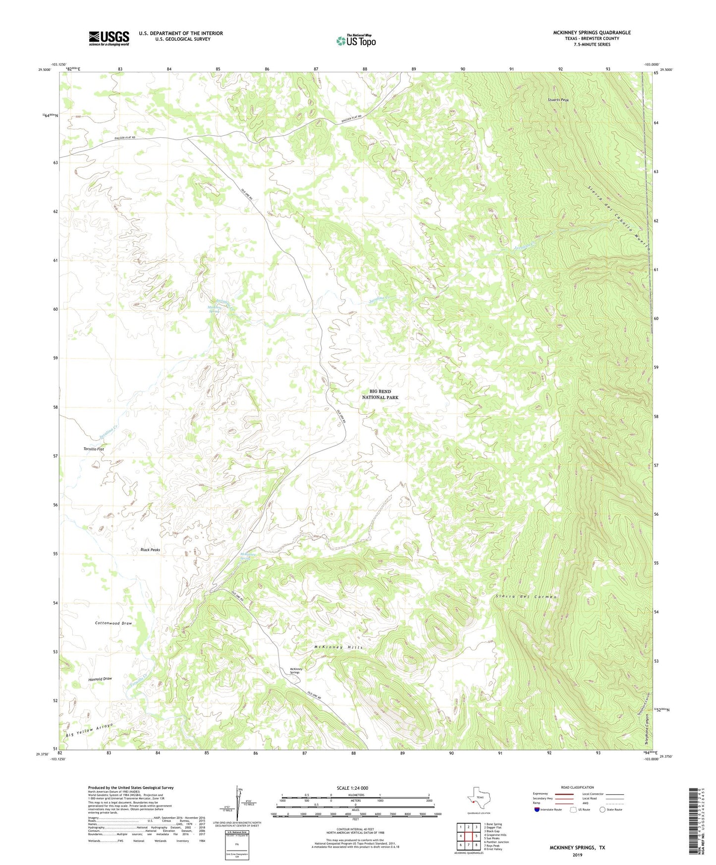
2022 topographic map quadrangle McKinney Springs in the state of Texas. Scale: 1:24000. Based on the newly updated USGS 7.5' US Topo map series, this map is in the following counties: Brewster. The map contains contour data, water features, and other items you are used to seeing on USGS maps, but also has updated roads and other features. This is the next generation of topographic maps. Printed on high-quality waterproof paper with UV fade-resistant inks.
Quads adjacent to this one:
West: Grapevine Hills
Northwest: Bone Spring
North: Dagger Flat
Northeast: Black Gap
East: Sue Peaks
Southeast: Ernst Valley
South: Roys Peak
Southwest: Panther Junction
This map covers the same area as the classic USGS quad with code o29103d1.
Contains the following named places: Big Yellow Arroyo, Black Peaks, Cottonwood Draw, Hannold Draw, McKinney Spring, McKinney Springs, Muskhog Spring, Star Creek, Stuarts Peak