MyTopo
McLeod Texas US Topo Map
Couldn't load pickup availability
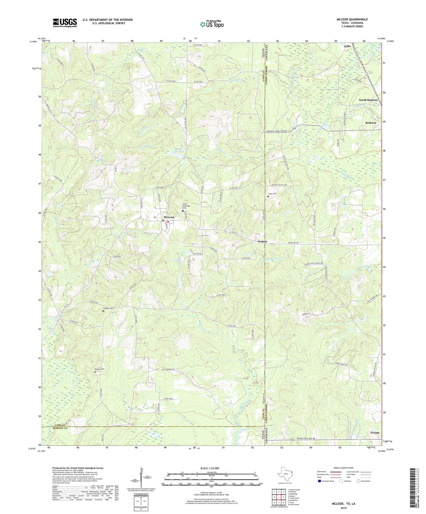
2019 topographic map quadrangle McLeod in the states of Texas, Louisiana. Scale: 1:24000. Based on the newly updated USGS 7.5' US Topo map series, this map is in the following counties: Cass, Caddo, Marion. The map contains contour data, water features, and other items you are used to seeing on USGS maps, but also has updated roads and other features. This is the next generation of topographic maps. Printed on high-quality waterproof paper with UV fade-resistant inks.
Quads adjacent to this one:
West: Kildare
Northwest: Atlanta South
North: Ravanna
Northeast: Doddridge
East: Vivian North
Southeast: Vivian South
South: Trees
Southwest: Smithland
Contains the following named places: Aberdeen Church, Baugass Cemetery, Cass County Fire District 1 McLeod Station, Clear Creek, Garfield, Good Exchange Cemetery, Hurricane Creek, Josey Cemetery, McLeod, McLeod Census Designated Place, McLeod Post Office, Mill Creek, Morses Mill Pond, North Rodessa, Pleasant Hope Church, Rambo, Rambo Cemetery, State Line Creek, Tyson Branch, Walnut Hill Church, Walton, ZIP Code: 75565