MyTopo
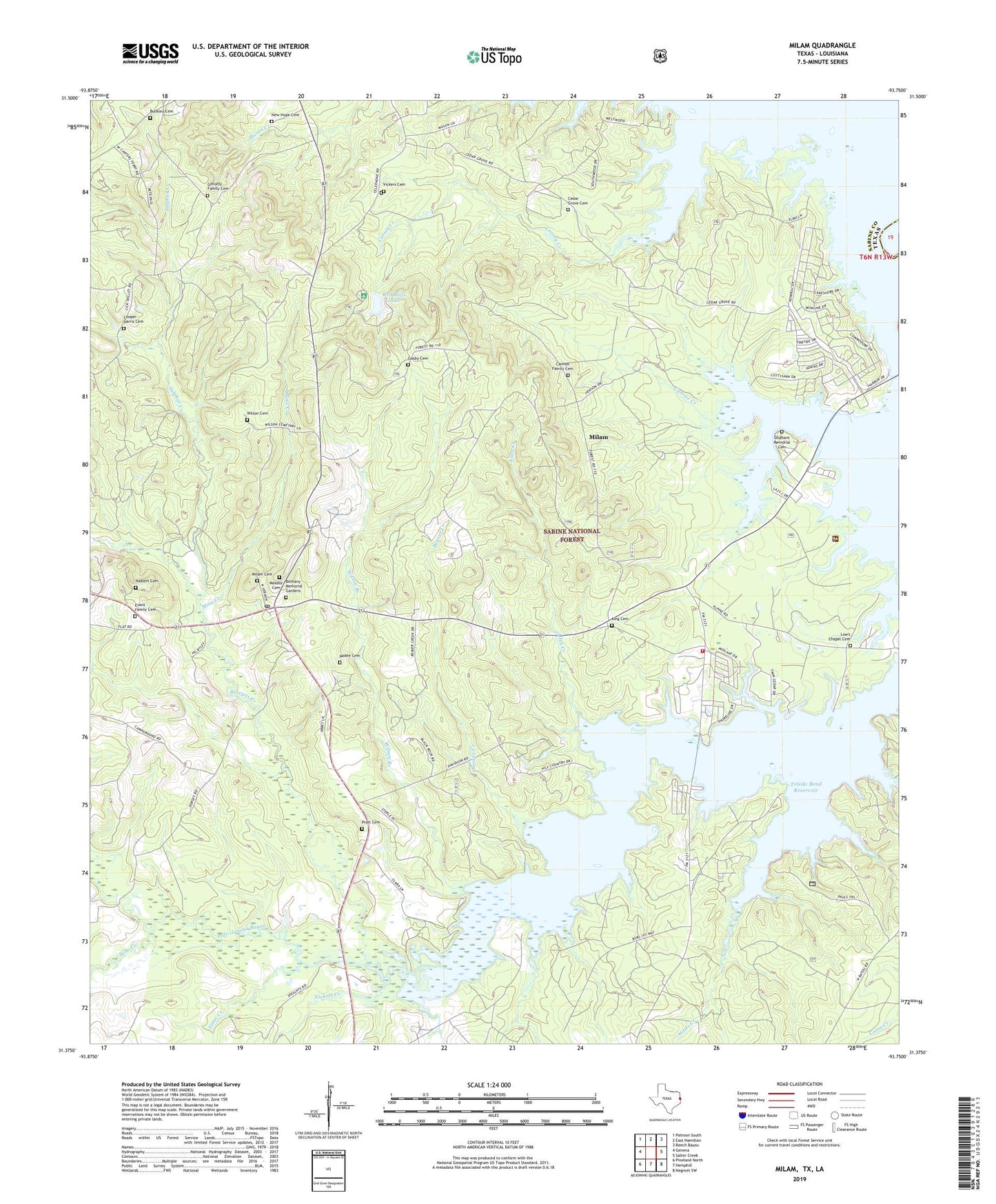
Milam Texas US Topo Map
Couldn't load pickup availability
Also explore the Milam Forest Service Topo of this same quad for updated USFS data
2022 topographic map quadrangle Milam in the state of Texas. Scale: 1:24000. Based on the newly updated USGS 7.5' US Topo map series, this map is in the following counties: Sabine. The map contains contour data, water features, and other items you are used to seeing on USGS maps, but also has updated roads and other features. This is the next generation of topographic maps. Printed on high-quality waterproof paper with UV fade-resistant inks.
Quads adjacent to this one:
West: Geneva
Northwest: Patroon South
North: East Hamilton
Northeast: Beech Bayou
East: Salter Creek
Southeast: Negreet SW
South: Hemphill
Southwest: Pineland North
This map covers the same area as the classic USGS quad with code o31093d7.
Contains the following named places: Allen Creek, Austin College Forestry Camp, Beaver Creek, Bethany Baptist Church, Bethany Memorial Gardens, Boregas Creek, Buckley Cemetery, Cannon Family Cemetery, Cedar Grove Cemetery, Cedar Grove Church, Chambers Hill Lookout, Cooper - Harris Cemetery, Corsey Creek, Evans Family Cemetery, Gasby Cemetery, Gellatly Cemetery, Halbert Cemetery, Hines Creek, Isaac Creek, King Cemetery, Low Chapel, Low's Chapel Cemetery, Meador Cemetery, Milam, Milam Cemetery, Milam Census Designated Place, Milam Division, Milam Post Office, Moore Cemetery, Moss Creek, New Hope Cemetery, New Hope Church, Nickols Creek, Oliphant House, Oliphant Memorial Cemetery, Pendleton Harbor Volunteer Fire Department, Pratt Cemetery, Red Hill Campground, Red Hills Lake, Red Lake Hills Dam, Sabine National Forest, Sandy Flat Church, Sulphur Creek, Tebo Creek, Vickers Cemetery, Wilson Branch, Wilson Cemetery


