MyTopo
Millican Mountains Texas US Topo Map
Couldn't load pickup availability
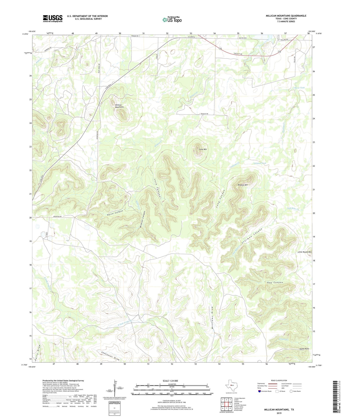
2022 topographic map quadrangle Millican Mountains in the state of Texas. Scale: 1:24000. Based on the newly updated USGS 7.5' US Topo map series, this map is in the following counties: Coke. The map contains contour data, water features, and other items you are used to seeing on USGS maps, but also has updated roads and other features. This is the next generation of topographic maps. Printed on high-quality waterproof paper with UV fade-resistant inks.
Quads adjacent to this one:
West: Divide
Northwest: Green Mountain
North: Edith
Northeast: Robert Lee
East: Cement Mountain
Southeast: Pecan Mott
South: Murph Draw
Southwest: Water Valley
This map covers the same area as the classic USGS quad with code o31100g5.
Contains the following named places: Big Windmill, Bull Pasture Windmill, E V Spence Reservoir, Hatley Windmill, Head of the Creek Windmill, Hog Canyon, Horse Canyon, Lock Canyon, Lone Mountain, Long Canyon, Millican Mountains, Oscar Tank, Schooler Windmill, Sterman Canyon, Sterman Windmill, Stone Point, Wildcat Canyon, Wildcat Mountain, Wildcat School, Wildcat Tank, Williams Windmill