MyTopo
Cement Mountain Texas US Topo Map
Couldn't load pickup availability
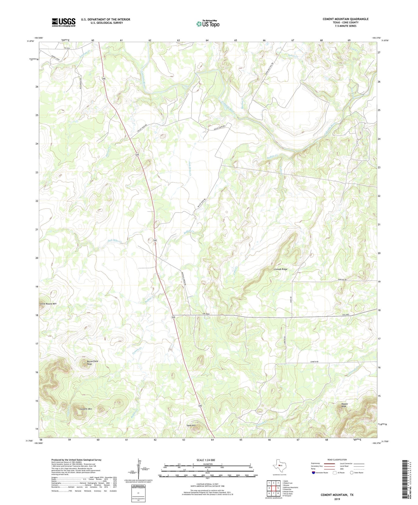
2022 topographic map quadrangle Cement Mountain in the state of Texas. Scale: 1:24000. Based on the newly updated USGS 7.5' US Topo map series, this map is in the following counties: Coke. The map contains contour data, water features, and other items you are used to seeing on USGS maps, but also has updated roads and other features. This is the next generation of topographic maps. Printed on high-quality waterproof paper with UV fade-resistant inks.
Quads adjacent to this one:
West: Millican Mountains
Northwest: Edith
North: Robert Lee
Northeast: Bronte
East: Shawville
Southeast: Tennyson
South: Pecan Mott
Southwest: Murph Draw
This map covers the same area as the classic USGS quad with code o31100g4.
Contains the following named places: Antelope Creek, Buffalo Creek, Butterfield Peak, Cement Creek, Cement Mountain, Cobb Creek, Cow Creek, Indian Creek, Jack Miles Creek, Little Round Mountain, Liveoak Ridge, Machae Creek, Nipple Peak, Sand Hill, Storey Creek, Valley View, Valley View Cemetery, Wendland Oil Field