MyTopo
Mills Bennett SW Texas US Topo Map
Couldn't load pickup availability
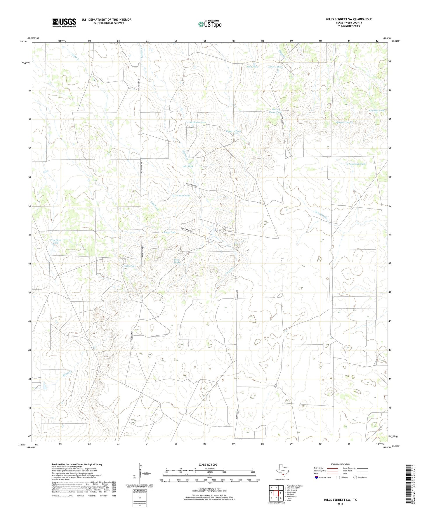
2022 topographic map quadrangle Mills Bennett SW in the state of Texas. Scale: 1:24000. Based on the newly updated USGS 7.5' US Topo map series, this map is in the following counties: Webb. The map contains contour data, water features, and other items you are used to seeing on USGS maps, but also has updated roads and other features. This is the next generation of topographic maps. Printed on high-quality waterproof paper with UV fade-resistant inks.
Quads adjacent to this one:
West: Shipp Ranch
Northwest: Piedra Parada Ranch
North: Mills Bennett NW
Northeast: Mills Bennett
East: San Pablo
Southeast: Bruni
South: Oilton
Southwest: Mirando City
This map covers the same area as the classic USGS quad with code o27098e8.
Contains the following named places: Blanca Tank, Brahmas Tank, Candido Tank, Chicago Windmill, De La Garza Tank, Diller Tank, Jillo Tank, Johnny Tank, Los Saus Tank, Pina Tank, Pita Windmill, Poso Tank, Retamosa Tank, Ruperto Tank, Sauce Tank, Tres Picos Tank, Vela Tank, ZIP Code: 78371