MyTopo
Mirando City Texas US Topo Map
Couldn't load pickup availability
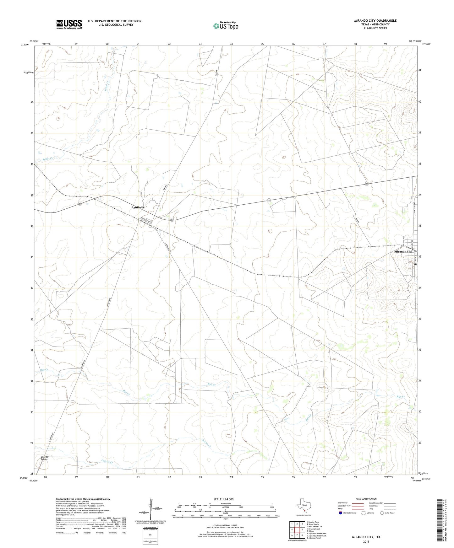
2022 topographic map quadrangle Mirando City in the state of Texas. Scale: 1:24000. Based on the newly updated USGS 7.5' US Topo map series, this map is in the following counties: Webb. The map contains contour data, water features, and other items you are used to seeing on USGS maps, but also has updated roads and other features. This is the next generation of topographic maps. Printed on high-quality waterproof paper with UV fade-resistant inks.
Quads adjacent to this one:
West: Retama Creek
Northwest: Burrito Tank
North: Shipp Ranch
Northeast: Mills Bennett SW
East: Oilton
Southeast: Albercas Ranch
South: Agua Azul Creek East
Southwest: Agua Azul Creek West
This map covers the same area as the classic USGS quad with code o27099d1.
Contains the following named places: Aguilares, Aguilares Acres Colonia, Aguilares Census Designated Place, Cerrito Prieto, Laredo South-El Cenizo Division, Mirando City, Mirando City Addition Colonia, Mirando City Census Designated Place, Mirando City Post Office, Ranchitos los Veteranos Colonia