MyTopo
Navidad Texas US Topo Map
Couldn't load pickup availability
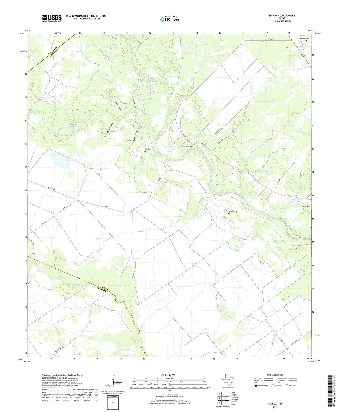
2022 topographic map quadrangle Navidad in the state of Texas. Scale: 1:24000. Based on the newly updated USGS 7.5' US Topo map series, this map is in the following counties: Jackson, Victoria, Lavaca. The map contains contour data, water features, and other items you are used to seeing on USGS maps, but also has updated roads and other features. This is the next generation of topographic maps. Printed on high-quality waterproof paper with UV fade-resistant inks.
Quads adjacent to this one:
West: Peck Branch
Northwest: Hope
North: Morales
Northeast: Cordele
East: Mount Olive
Southeast: Edna
South: Inez
Southwest: Inez NW
This map covers the same area as the classic USGS quad with code o29096a7.
Contains the following named places: Alligator Lake, Beard Branch, Chicolete Creek, Cox Cemetery, Horseshoe Lake, James Hollow, Keller Branch, Kerr Branch, Knopp Branch, Knopp Cemetery, McCoy Hollow, McDaniel Gas Field, McHenry Cemetery, Navidad, Navidad Gas Field, Robinson Ranch, Roden Hollow, Roughts Chapel, Terrell Cemetery, Wilkerson Cemetery