MyTopo
Northside Texas US Topo Map
Couldn't load pickup availability
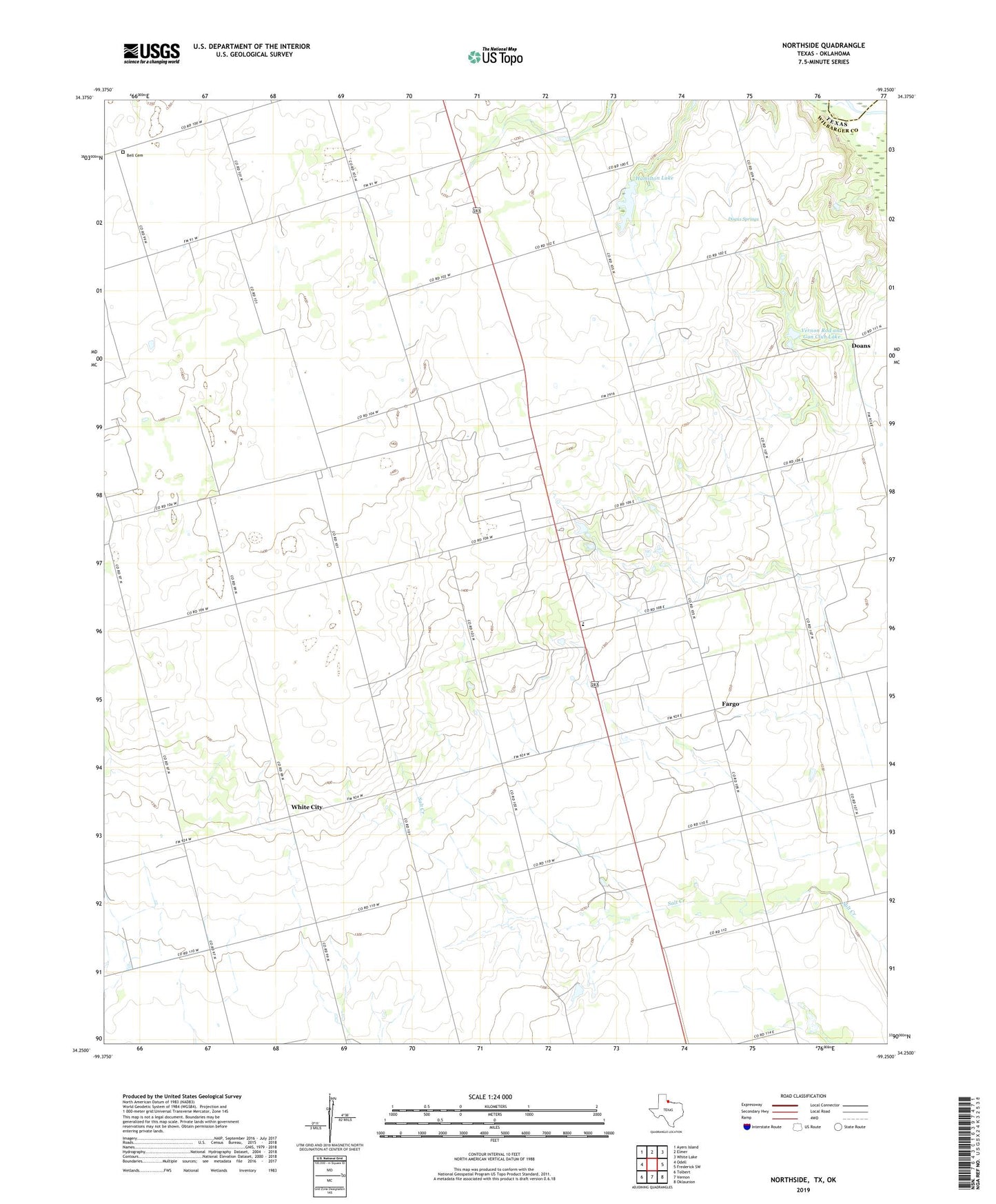
2022 topographic map quadrangle Northside in the state of Texas. Scale: 1:24000. Based on the newly updated USGS 7.5' US Topo map series, this map is in the following counties: Wilbarger, Jackson. The map contains contour data, water features, and other items you are used to seeing on USGS maps, but also has updated roads and other features. This is the next generation of topographic maps. Printed on high-quality waterproof paper with UV fade-resistant inks.
Quads adjacent to this one:
West: Odell
Northwest: Ayers Island
North: Elmer
Northeast: White Lake
East: Frederick SW
Southeast: Oklaunion
South: Vernon
Southwest: Tolbert
This map covers the same area as the classic USGS quad with code o34099c3.
Contains the following named places: Amerada Camp, Bell Cemetery, Doans, Doans Adobe House, Doans Springs, Fargo, Fargo Church, Fargo Oil Field, Fargo-Odell Division, Hamilton Lake, Hamilton Lake Dam, Mount Zion Church, Northside, Vernon Rod and Gun Club Lake, Vernon Rod and Gun Club Lake Dam, White City