MyTopo
Nott Branch Texas US Topo Map
Couldn't load pickup availability
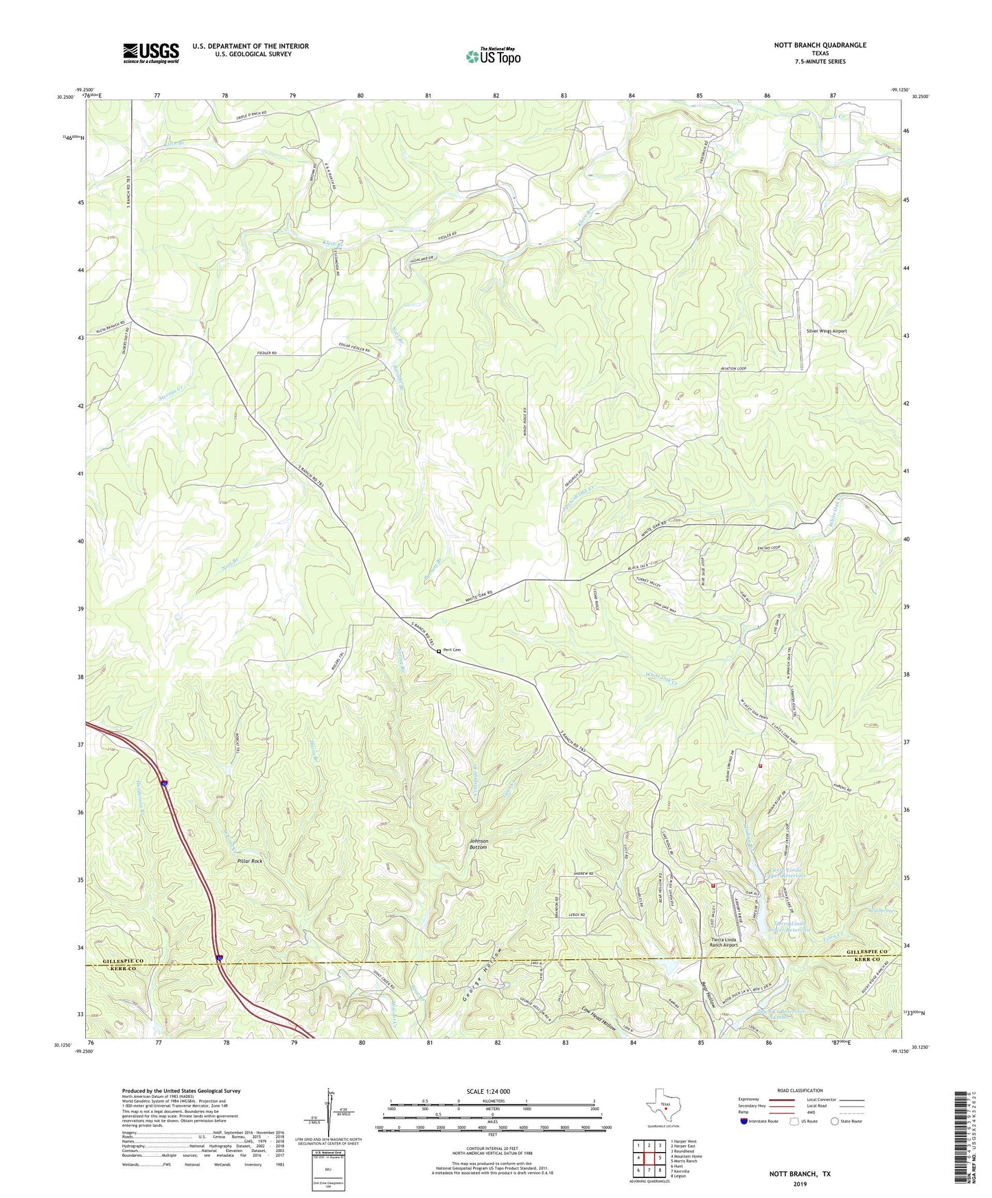
2022 topographic map quadrangle Nott Branch in the state of Texas. Scale: 1:24000. Based on the newly updated USGS 7.5' US Topo map series, this map is in the following counties: Gillespie, Kerr. The map contains contour data, water features, and other items you are used to seeing on USGS maps, but also has updated roads and other features. This is the next generation of topographic maps. Printed on high-quality waterproof paper with UV fade-resistant inks.
Quads adjacent to this one:
West: Mountain Home
Northwest: Harper West
North: Harper East
Northeast: Roundhead
East: Morris Ranch
Southeast: Legion
South: Kerrville
Southwest: Hunt
This map covers the same area as the classic USGS quad with code o30099b2.
Contains the following named places: Barnett Branch, Bear Hollow, Centipede Branch, Circle D Ranch, Cottonwood Ranch, Flag Creek, Hains Branch, Indian Branch, Johnson Bottom, Klein Branch, North Creek, Nott Branch, Peril Cemetery, Pillar Rock, Poole Lake, Poole Lake Dam, Reid Springs, Rocky Ridge Ranch, Silver Wings Airport, Spanish Oak Creek, Spring Branch, Stevens Creek, Tierra Linda Lower Dam, Tierra Linda Lower Reservoir, Tierra Linda Ranch Airport, Tierra Linda Upper Dam, Tierra Linda Upper Reservoir, Tierra Linda Volunteer Fire Department, Town Creek Dam Number 1, Town Creek Reservoir Number 1, Trails End Ranch