MyTopo
Phillips Texas US Topo Map
Couldn't load pickup availability
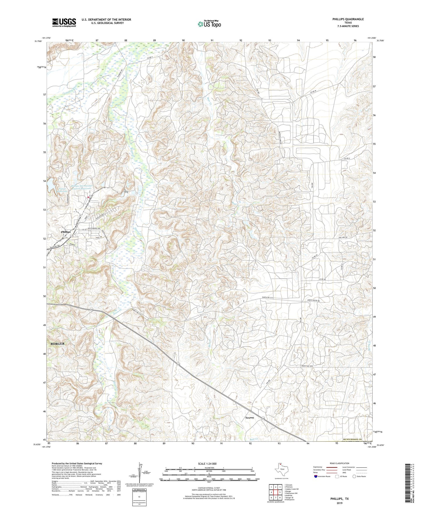
2022 topographic map quadrangle Phillips in the state of Texas. Scale: 1:24000. Based on the newly updated USGS 7.5' US Topo map series, this map is in the following counties: Hutchinson, Carson. The map contains contour data, water features, and other items you are used to seeing on USGS maps, but also has updated roads and other features. This is the next generation of topographic maps. Printed on high-quality waterproof paper with UV fade-resistant inks.
Quads adjacent to this one:
West: Borger
Northwest: Stinnett
North: Plemons
Northeast: Adobe Creek SW
East: Skellytown NW
Southeast: Skellytown
South: Borger SE
Southwest: McBride
This map covers the same area as the classic USGS quad with code o35101f3.
Contains the following named places: Borger Division, Borger Oil Field, Borger Terminal, Conoco Phillips - Borger Refinery Fire Department, Dixon Creek, Haile Church, Moore Watkins Oil Field, Pantex Dam, Pantex Reservoir, Phillips, Phillips Park, Phillips Refinery Dam Number 1, Phillips Stormwater Control Reservoir, Spring Creek School, Texroy