MyTopo
Pond Creek Texas US Topo Map
Couldn't load pickup availability
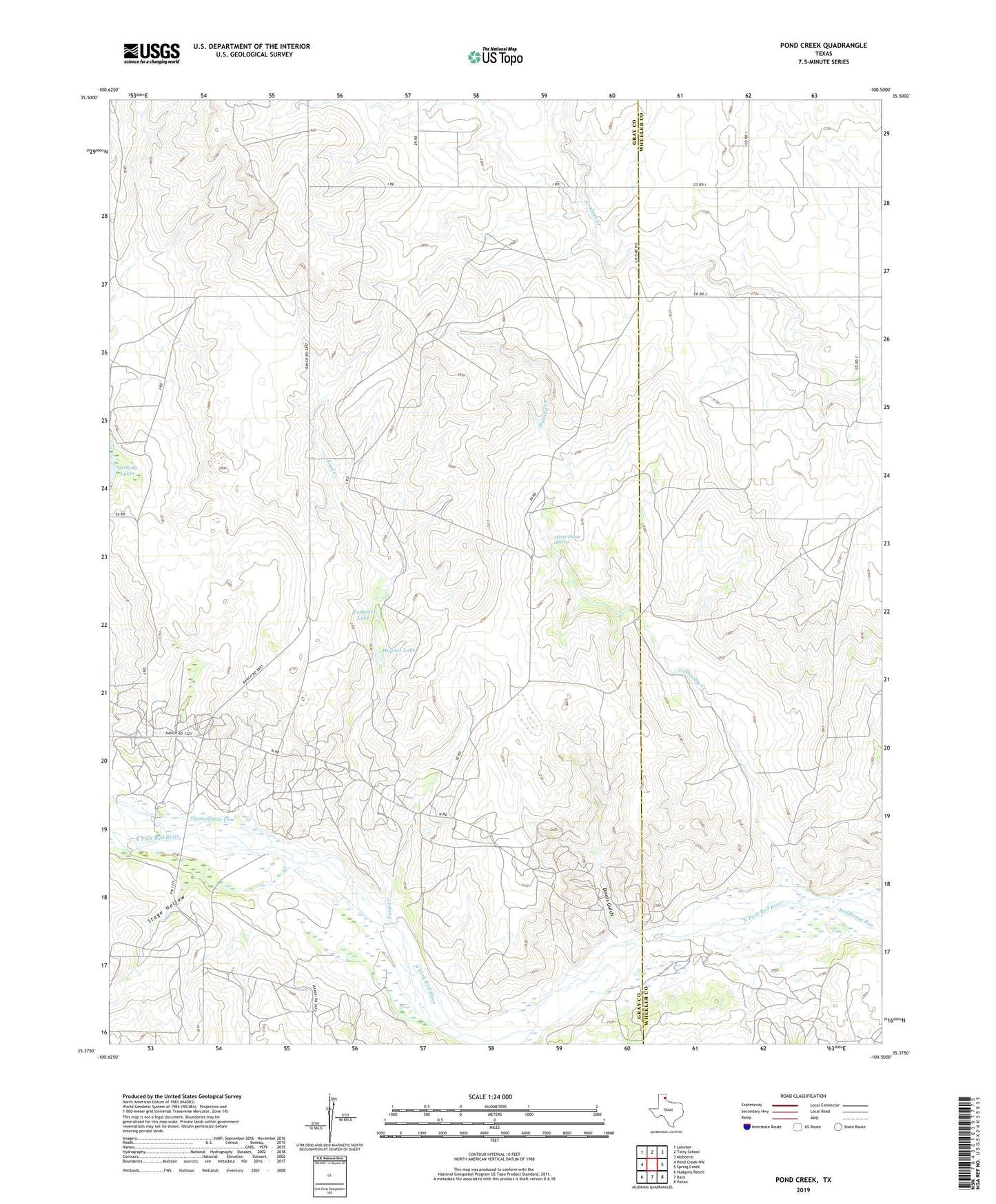
2022 topographic map quadrangle Pond Creek in the state of Texas. Scale: 1:24000. Based on the newly updated USGS 7.5' US Topo map series, this map is in the following counties: Gray, Wheeler. The map contains contour data, water features, and other items you are used to seeing on USGS maps, but also has updated roads and other features. This is the next generation of topographic maps. Printed on high-quality waterproof paper with UV fade-resistant inks.
Quads adjacent to this one:
West: Pond Creek NW
Northwest: Laketon
North: Totty School
Northeast: Mobeetie
East: Spring Creek
Southeast: Pakan
South: Back
Southwest: Hudgens Ranch
This map covers the same area as the classic USGS quad with code o35100d5.
Contains the following named places: Bellco, Cantonment Creek, Denworth, Devils Gulch, Gething Lakes, Harnes Ranch, Haynes Lake, Huselby Creek, Huselby Ranch, John C Haynes Lake Dam, Pond Creek, Stage Hollow, Tadpole Lake, Webb Ranch, White Horse Spring