MyTopo
Quinn Creek Texas US Topo Map
Couldn't load pickup availability
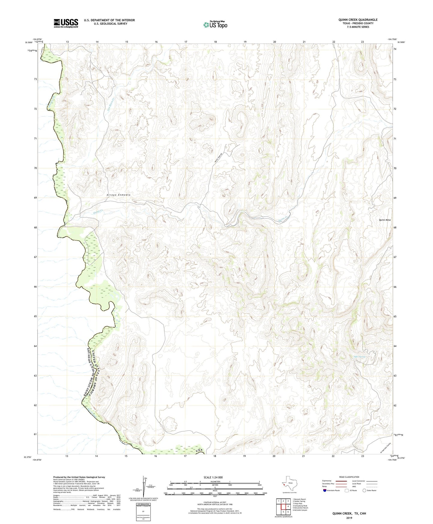
2022 topographic map quadrangle Quinn Creek in the state of Texas. Scale: 1:24000. Based on the newly updated USGS 7.5' US Topo map series, this map is in the following counties: Presidio. The map contains contour data, water features, and other items you are used to seeing on USGS maps, but also has updated roads and other features. This is the next generation of topographic maps. Printed on high-quality waterproof paper with UV fade-resistant inks.
Quads adjacent to this one:
Northwest: Bennett Ranch
North: Soldier Spring
Northeast: Vieja Pass
East: Gettysburg Peak
Southeast: McComb Canyon
South: McCutchen Ranch
This map covers the same area as the classic USGS quad with code o30104d7.
Contains the following named places: Arroyo Enmedio, Pilares, Porvenir, Quinn Camp, Quinn Creek, Quinn Mesa, Quinn Mesa Windmill, Quinn Windmill, Samchez Ranch, Siffer Spring, Soldier Windmill, Van Horn Creek