MyTopo
Regency Texas US Topo Map
Couldn't load pickup availability
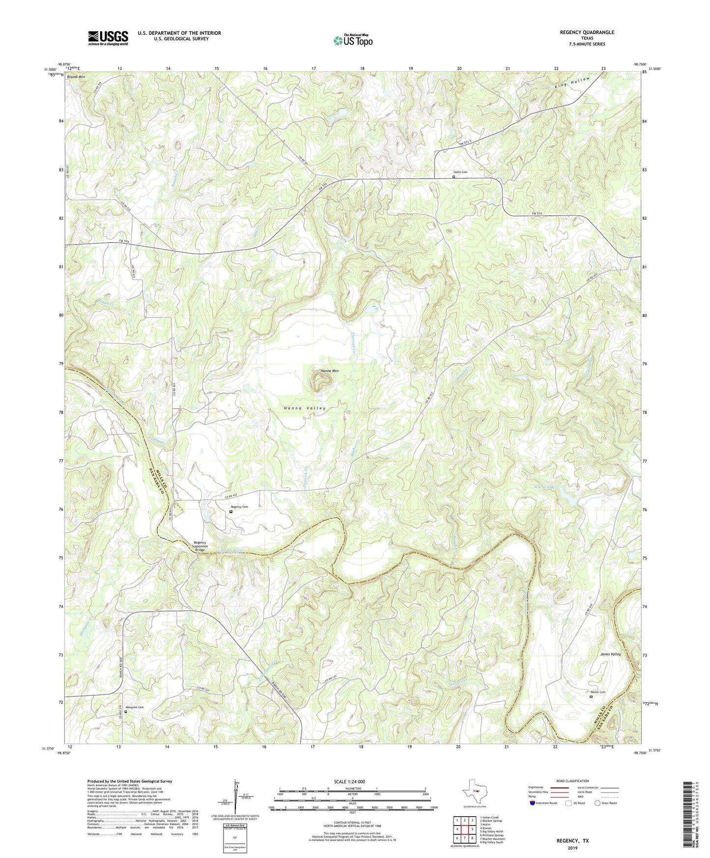
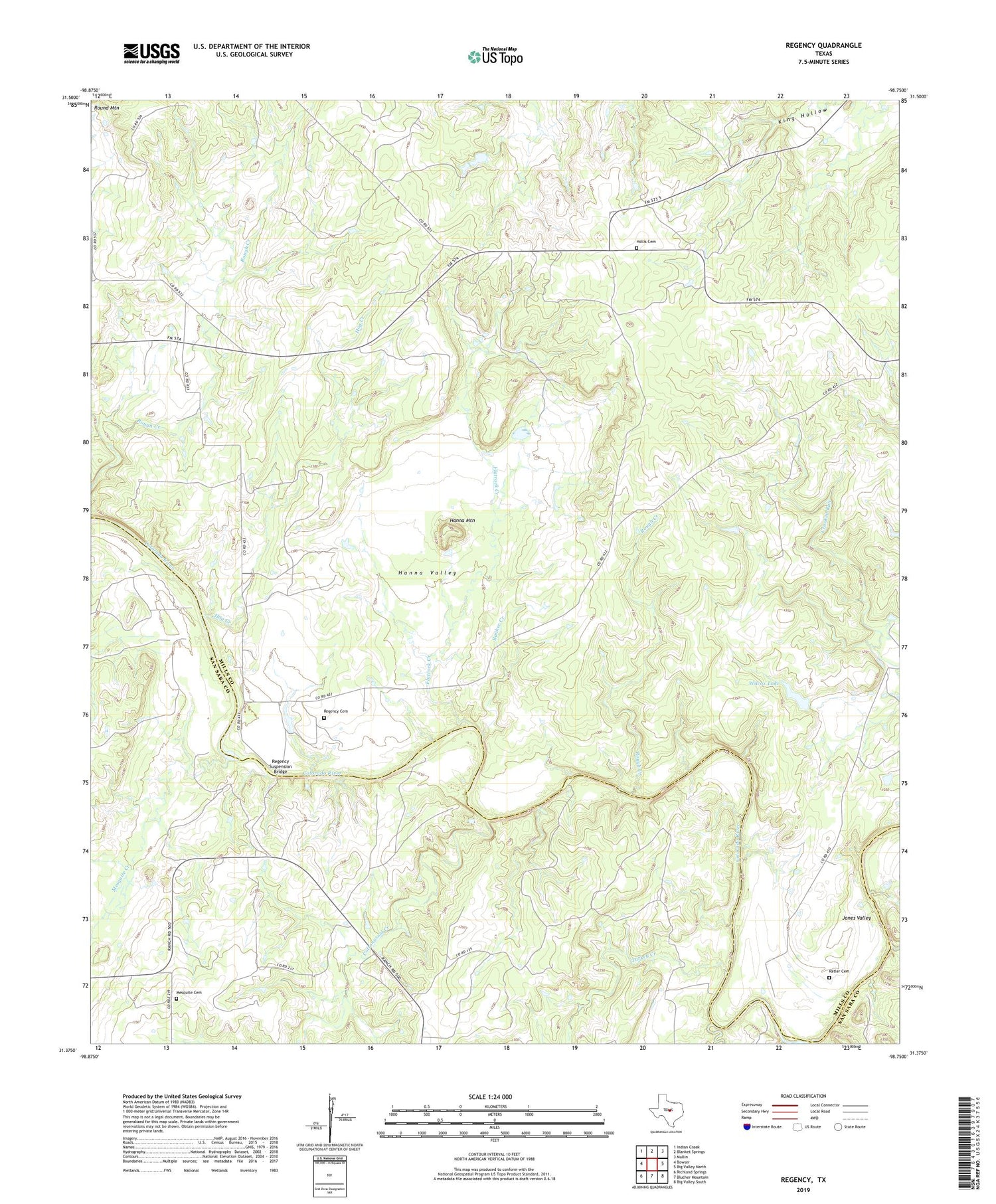
2019 topographic map quadrangle Regency in the state of Texas. Scale: 1:24000. Based on the newly updated USGS 7.5' US Topo map series, this map is in the following counties: Mills, San Saba. The map contains contour data, water features, and other items you are used to seeing on USGS maps, but also has updated roads and other features. This is the next generation of topographic maps. Printed on high-quality waterproof paper with UV fade-resistant inks.
Quads adjacent to this one:
West: Bowser
Northwest: Indian Creek
North: Blanket Springs
Northeast: Mullin
East: Big Valley North
Southeast: Big Valley South
South: Blucher Mountain
Southwest: Richland Springs
Contains the following named places: Bunker Creek, Cottonwood Creek, Flatrock Creek, Hanna Mountain, Hanna Valley, Hog Creek, Hollis Cemetery, Jones Valley, Mesquite Cemetery, Mesquite Creek, Ratler, Ratler Cemetery, Regency, Regency Cemetery, Regency Suspension Bridge, Renfro Dam, Ridge, Ridge Community Hall, Rough Creek, Round Mountain, Spring Creek, Turkey Creek, Wilcox Lake, Wilcox Lake Dam