MyTopo
Rhea Texas US Topo Map
Couldn't load pickup availability
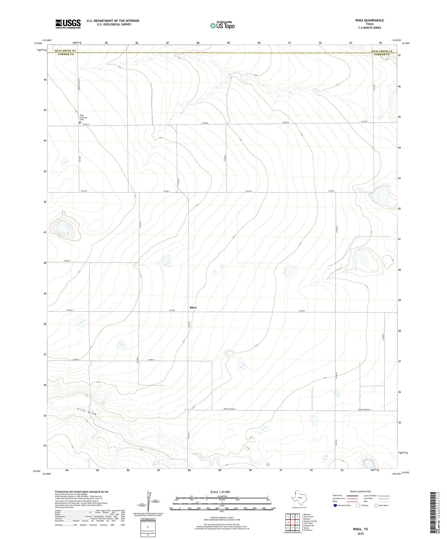
2022 topographic map quadrangle Rhea in the state of Texas. Scale: 1:24000. Based on the newly updated USGS 7.5' US Topo map series, this map is in the following counties: Parmer, Deaf Smith. The map contains contour data, water features, and other items you are used to seeing on USGS maps, but also has updated roads and other features. This is the next generation of topographic maps. Printed on high-quality waterproof paper with UV fade-resistant inks.
Quads adjacent to this one:
West: Pleasant Hill NE
Northwest: Bellview
North: Garcia Lake
Northeast: Bootleg
East: Twin Lakes
Southeast: Parmerton
South: Bovina
Southwest: Pleasant Hill
This map covers the same area as the classic USGS quad with code o34102f8.
Contains the following named places: Rhea, Rhea Emmanuel Church, Rhea Lutheran Cemetery