MyTopo
Riviera Beach NW Texas US Topo Map
Couldn't load pickup availability
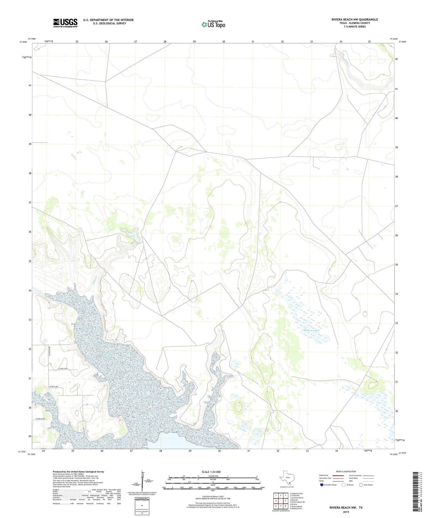
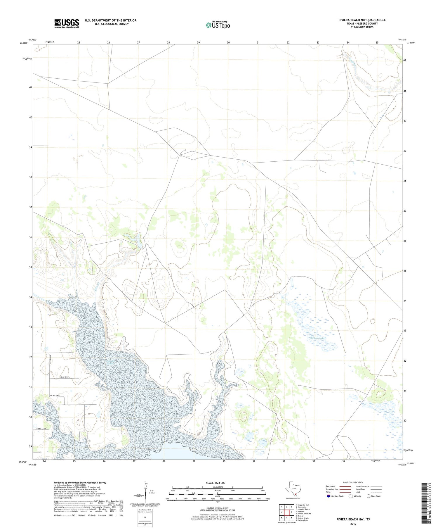
2019 topographic map quadrangle Riviera Beach NW in the state of Texas. Scale: 1:24000. Based on the newly updated USGS 7.5' US Topo map series, this map is in the following counties: Kleberg. The map contains contour data, water features, and other items you are used to seeing on USGS maps, but also has updated roads and other features. This is the next generation of topographic maps. Printed on high-quality waterproof paper with UV fade-resistant inks.
Quads adjacent to this one:
West: Ricardo
Northwest: Kingsville East
North: Concordia
Northeast: Laureles Ranch
East: Riviera Beach NE
Southeast: Kleberg Point
South: Riviera Beach
Southwest: Riviera
Contains the following named places: Cuatites Well, Gallito Well, Jabalina Well, Jaboncillos Creek, John E Conner Museum - Texas A&M University-Kingsville, Kleberg County, Madero Lake, Madero Well, Mesquite Well, Paso Los Flacos Well, Pinto Creek, Pinto Well, Radicha Creek, Ramos Well, San Fernando Creek, Telephone Well, Tres Esquinas Well, Zancudedo Well