MyTopo
Robinson Texas US Topo Map
Couldn't load pickup availability
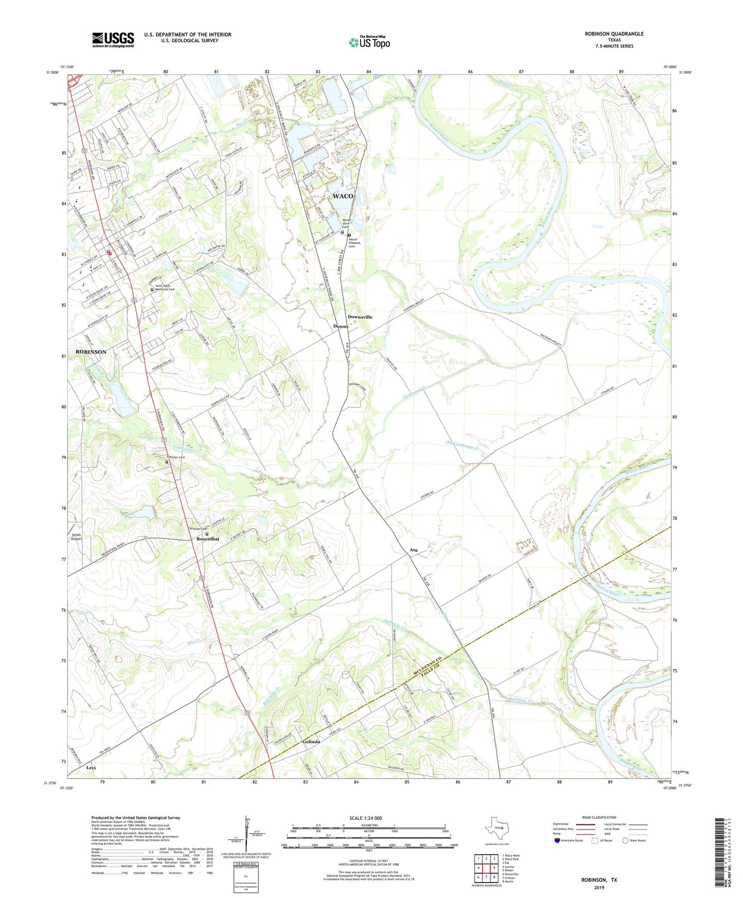
2022 topographic map quadrangle Robinson in the state of Texas. Scale: 1:24000. Based on the newly updated USGS 7.5' US Topo map series, this map is in the following counties: McLennan, Falls. The map contains contour data, water features, and other items you are used to seeing on USGS maps, but also has updated roads and other features. This is the next generation of topographic maps. Printed on high-quality waterproof paper with UV fade-resistant inks.
Quads adjacent to this one:
West: Lorena
Northwest: Waco West
North: Waco East
Northeast: Elk
East: Riesel
Southeast: Marlin
South: Chilton
Southwest: Bruceville
This map covers the same area as the classic USGS quad with code o31097d1.
Contains the following named places: Asa, Bethel Methodist Church of Robinson, Bull Hide Creek, Castleman Creek, Christian Cemetery, City of Robinson, Cornerstone Church, Crow Creek, Downs, Downsville, Dry Creek, First Baptist Church of Robinson, Flat Creek, Fletcher Cemetery, Golinda, Governor Bill and Vara Daniel Historic Village, Levi, Majors Chapel, Mount Olive Cemetery, Mount Olive Church, Mount Pleasant Cemetery, Mount Zion Church, New Hope Church, Old Castleman Creek, Robinson, Robinson City Hall, Robinson Elementary School, Robinson High School, Robinson Junior High School, Robinson Police Department, Robinson Primary School, Robinson Volunteer Fire Department Station 1, Rosenthal, Rosenthal Elementary School, Rosenthal High School, Saint Paul Missionary Baptist Church, Saint Pauls Church, Saint Pauls Memorial Cemetery, Shaw Creek, Soil Conservation Service Site 3 Dam, Soil Conservation Service Site 3 Reservoir, Soil Conservation Service Site 4 Dam, Soil Conservation Service Site 4 Reservoir, Soil Conservation Service Site 6 Dam, Soil Conservation Service Site 6 Reservoir, Soil Conservation Service Site 7 Dam, Soil Conservation Service Site 7 Reservoir, Sonrise Baptist Church, Youngblood Memorial Presbyterian Church, ZIP Code: 76706


