MyTopo
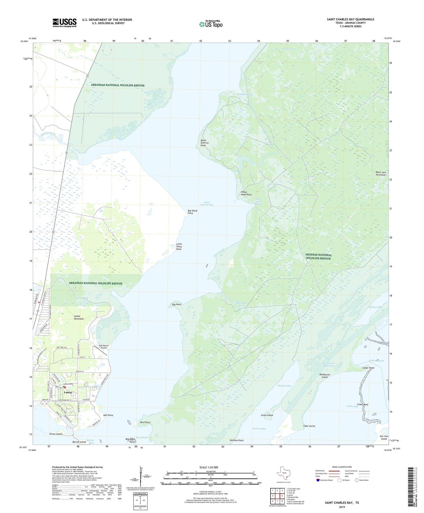
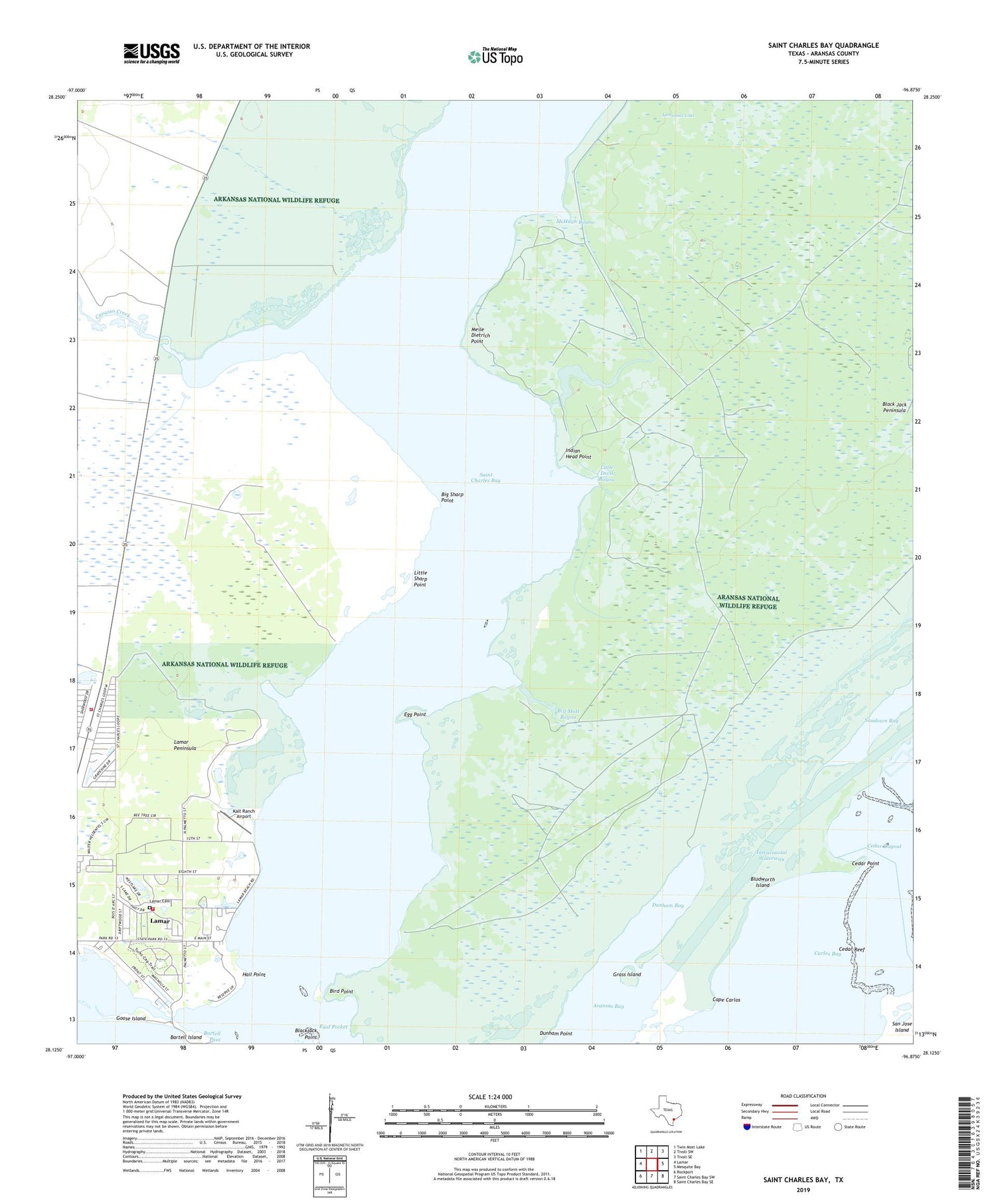
Saint Charles Bay Texas US Topo Map
Couldn't load pickup availability
2019 topographic map quadrangle Saint Charles Bay in the state of Texas. Scale: 1:24000. Based on the newly updated USGS 7.5' US Topo map series, this map is in the following counties: Aransas. The map contains contour data, water features, and other items you are used to seeing on USGS maps, but also has updated roads and other features. This is the next generation of topographic maps. Printed on high-quality waterproof paper with UV fade-resistant inks.
Quads adjacent to this one:
West: Lamar
Northwest: Twin Mott Lake
North: Tivoli SW
Northeast: Tivoli SE
East: Mesquite Bay
Southeast: Saint Charles Bay SE
South: Saint Charles Bay SW
Southwest: Rockport
Contains the following named places: Acquillas Windmill, Alamos Windmill, Aransas National Wildlife Refuge Trailsystem, Bartell Island, Bartell Pass, Big Devil Bayou, Big Sharp Point, Bill Mott Bayou, Bird Point, Black Jack Peninsula, Bludworth Island, Brahma Windmill, Cape Carlos, Carlos Bay, Cavasso Creek, Cedar Dugout, Cedar Point, Cedar Reef, Dunham Bay, East Pocket, Egg Point, Goose Island, Goose Island State Park, Grass Island, Hail Point, Helotes Windmill, Holiday Beach Sub Station Lamar Volunteer Fire Department, Indian Head Point, Kalt Ranch Airport, La Punta Windmill, Lamar Cemetery, Lamar Census Designated Place, Lamar Peninsula, Lamar Volunteer Fire Department, Lampasas Lake, Little Devil Bayou, Little Sharp Point, McHugh Bayou, McHugh Windmill, Meile Dietrich Point, Neptune Harbor, Ratama Windmill, Saint Charles Bay, Saint Charles Windmill, Star of the Sea Chapel