MyTopo
Smith Tank Texas US Topo Map
Couldn't load pickup availability
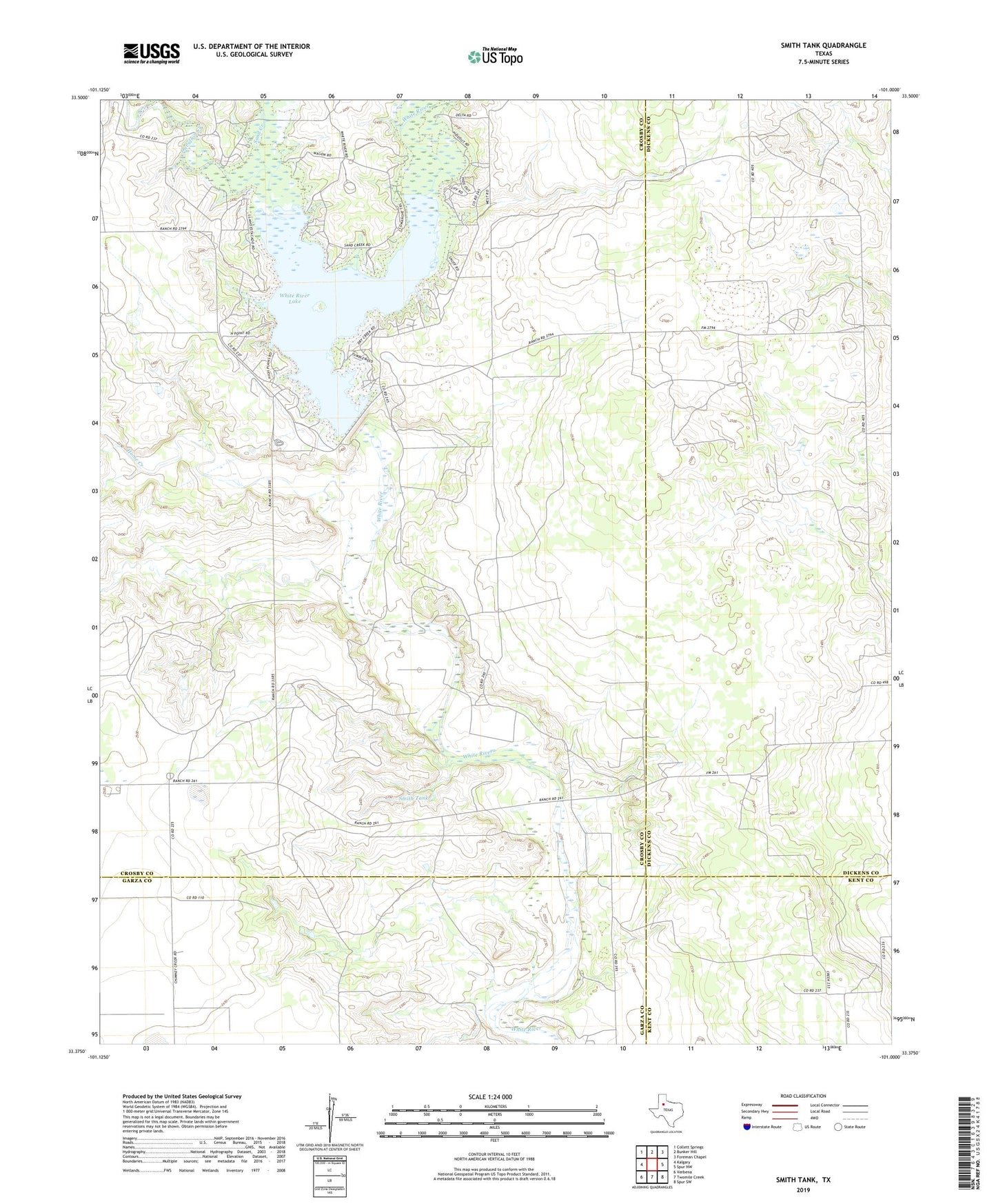
2022 topographic map quadrangle Smith Tank in the state of Texas. Scale: 1:24000. Based on the newly updated USGS 7.5' US Topo map series, this map is in the following counties: Crosby, Dickens, Garza, Kent. The map contains contour data, water features, and other items you are used to seeing on USGS maps, but also has updated roads and other features. This is the next generation of topographic maps. Printed on high-quality waterproof paper with UV fade-resistant inks.
Quads adjacent to this one:
West: Kalgary
Northwest: Collett Springs
North: Bunker Hill
Northeast: Foreman Chapel
East: Spur NW
Southeast: Spur SW
South: Twomile Creek
Southwest: Verbena
This map covers the same area as the classic USGS quad with code o33101d1.
Contains the following named places: Davidson Creek, Home Creek, Sand Creek, Smith Tank, White River Dam, White River Lake, White River Reservoir