MyTopo
Spur SW Texas US Topo Map
Couldn't load pickup availability
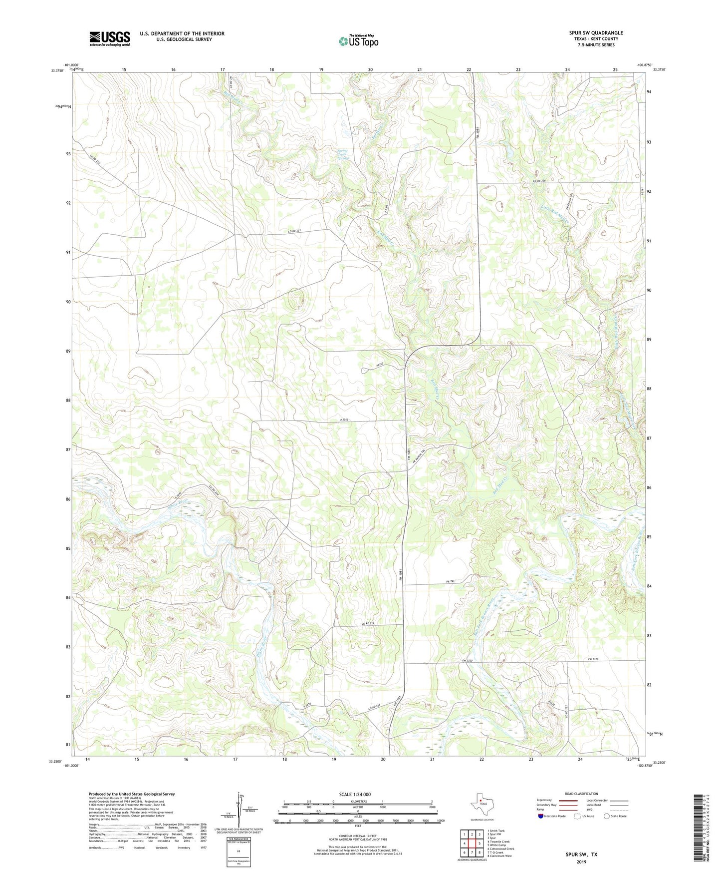
2022 topographic map quadrangle Spur SW in the state of Texas. Scale: 1:24000. Based on the newly updated USGS 7.5' US Topo map series, this map is in the following counties: Kent. The map contains contour data, water features, and other items you are used to seeing on USGS maps, but also has updated roads and other features. This is the next generation of topographic maps. Printed on high-quality waterproof paper with UV fade-resistant inks.
Quads adjacent to this one:
West: Twomile Creek
Northwest: Smith Tank
North: Spur NW
Northeast: Spur
East: White Camp
Southeast: Clairemont West
South: T-O Creek
Southwest: Cottonwood Creek
This map covers the same area as the classic USGS quad with code o33100c8.
Contains the following named places: Godfrey Ranch, Little Red Mud Creek, Morrison Ranch, Red Mud Creek, Salt Creek Oil Field, Spring Creek, Spring Creek Springs