MyTopo
Tow Texas US Topo Map
Couldn't load pickup availability
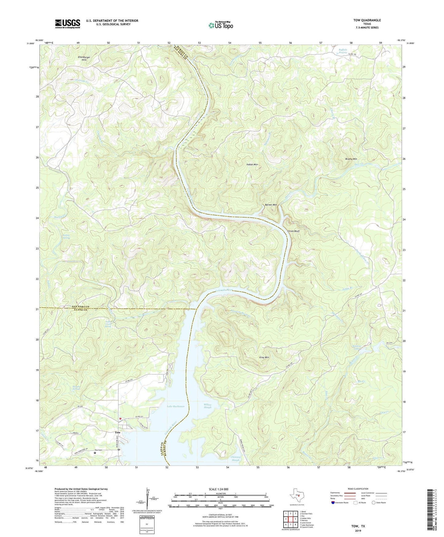
2022 topographic map quadrangle Tow in the state of Texas. Scale: 1:24000. Based on the newly updated USGS 7.5' US Topo map series, this map is in the following counties: Burnet, San Saba, Llano. The map contains contour data, water features, and other items you are used to seeing on USGS maps, but also has updated roads and other features. This is the next generation of topographic maps. Printed on high-quality waterproof paper with UV fade-resistant inks.
Quads adjacent to this one:
West: Indian Hills
Northwest: Bend
North: Gorman Falls
Northeast: Nix
East: Naruna
Southeast: Council Creek
South: Lake Buchanan
Southwest: Lone Grove
This map covers the same area as the classic USGS quad with code o30098h4.
Contains the following named places: Ashby Branch, Barnes Mountain, Bee Creek, Boiling Springs, Brushy Mountain, Buffalo Prairie, Buzzards Roost Creek, Calvert Creek, Canyon of the Eagles Trail, Cherry Branch, Chimney Slough, Chism Bluff, Deer Creek, Devils Hollow Creek, Ellenburger Hills, Fall Creek, Falls Creek Spring, Gray Mountain, Greenwood Creek, Indian Dam, Indian Lake, Indian Mountain, Jim John Creek, Lacy Creek, Marley Creek, Morgan Springs, Niter Creek, Simpson Creek, Sycamore Branch, Sycamore Creek, Tanyard, Tow, Tow Cemetery, Tow Census Designated Place, Tow Post Office, Tow Volunteer Fire Department, Wildcat Dam, Wildcat Lake, Willow Slough, Wolf Cabin, ZIP Code: 76824