MyTopo
Indian Hills Texas US Topo Map
Couldn't load pickup availability
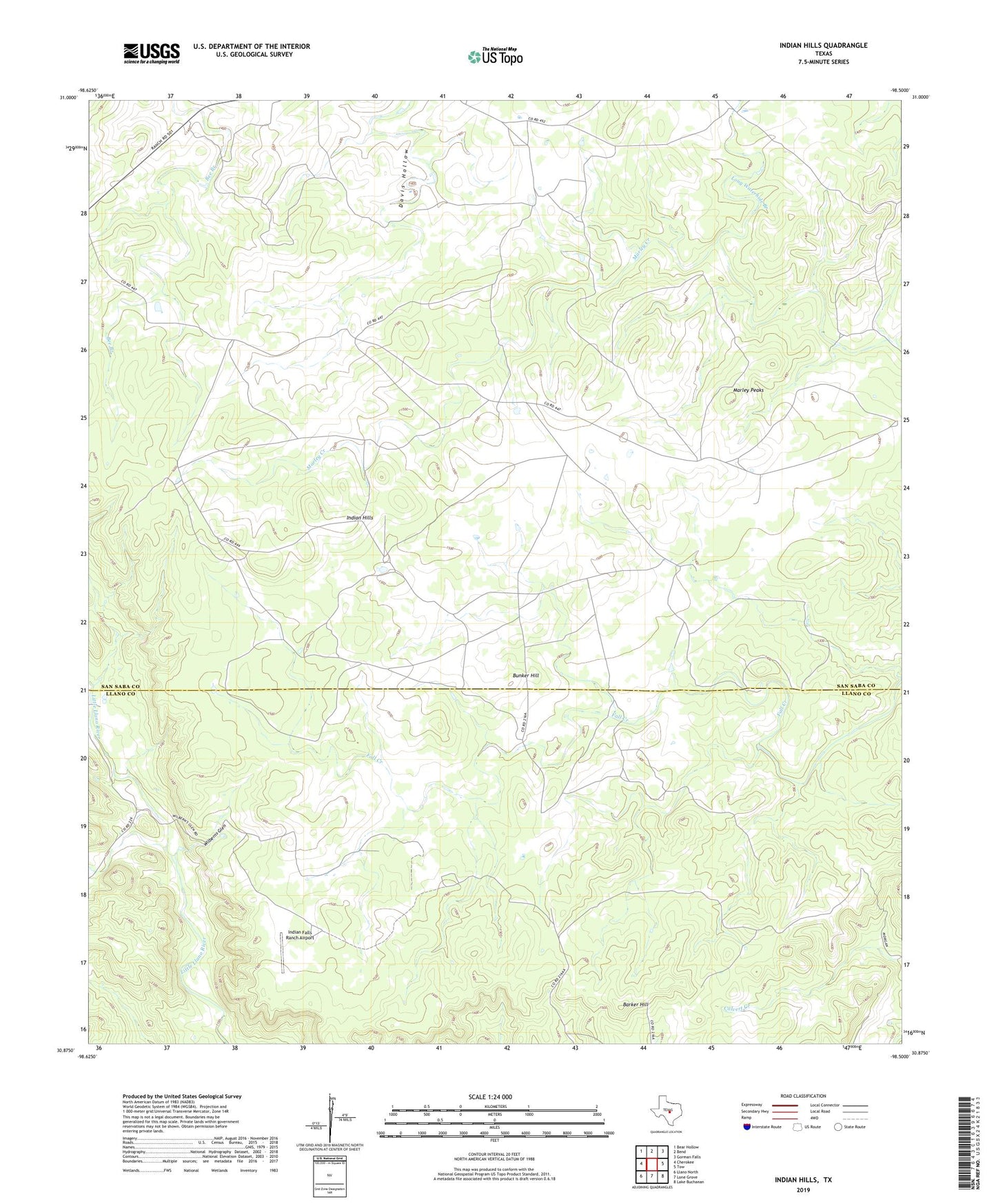
2022 topographic map quadrangle Indian Hills in the state of Texas. Scale: 1:24000. Based on the newly updated USGS 7.5' US Topo map series, this map is in the following counties: San Saba, Llano. The map contains contour data, water features, and other items you are used to seeing on USGS maps, but also has updated roads and other features. This is the next generation of topographic maps. Printed on high-quality waterproof paper with UV fade-resistant inks.
Quads adjacent to this one:
West: Cherokee
Northwest: Bear Hollow
North: Bend
Northeast: Gorman Falls
East: Tow
Southeast: Lake Buchanan
South: Lone Grove
Southwest: Llano North
This map covers the same area as the classic USGS quad with code o30098h5.
Contains the following named places: Barker Hill, Big Windmill, Bunker Hill, High Windmill, Indian Falls Ranch Airport, Indian Hills, Javelina Windmill, Jones Windmill, Long Waterhole Branch, Marley Peaks, Mesquite Windmill, Wilberns Glen