MyTopo
Trujillo Camp Texas US Topo Map
Couldn't load pickup availability
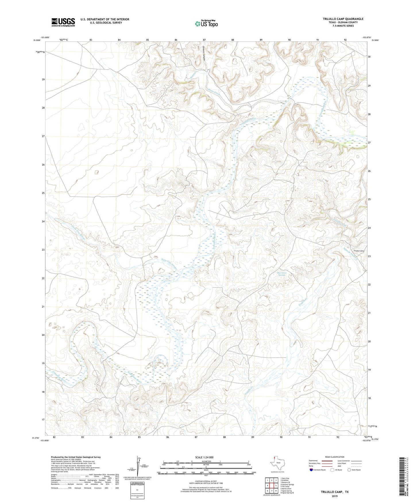
2022 topographic map quadrangle Trujillo Camp in the state of Texas. Scale: 1:24000. Based on the newly updated USGS 7.5' US Topo map series, this map is in the following counties: Oldham. The map contains contour data, water features, and other items you are used to seeing on USGS maps, but also has updated roads and other features. This is the next generation of topographic maps. Printed on high-quality waterproof paper with UV fade-resistant inks.
Quads adjacent to this one:
Northwest: Nara Visa
North: Knoblaw
Northeast: Romero SE
East: Vat Camp
Southeast: Signal Spring SE
South: Signal Spring
Southwest: Martin Draw
This map covers the same area as the classic USGS quad with code o35102d8.
Contains the following named places: Agua de Piedra Creek, Blue Goose Springs, Boydstun Windmill, Chavez Springs, Chisum Canyon, Horse Creek, Nara Visa Arroyo, Trujillo Camp