MyTopo
Valley Mills Texas US Topo Map
Couldn't load pickup availability
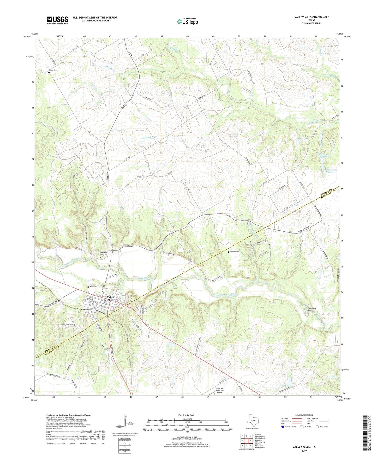
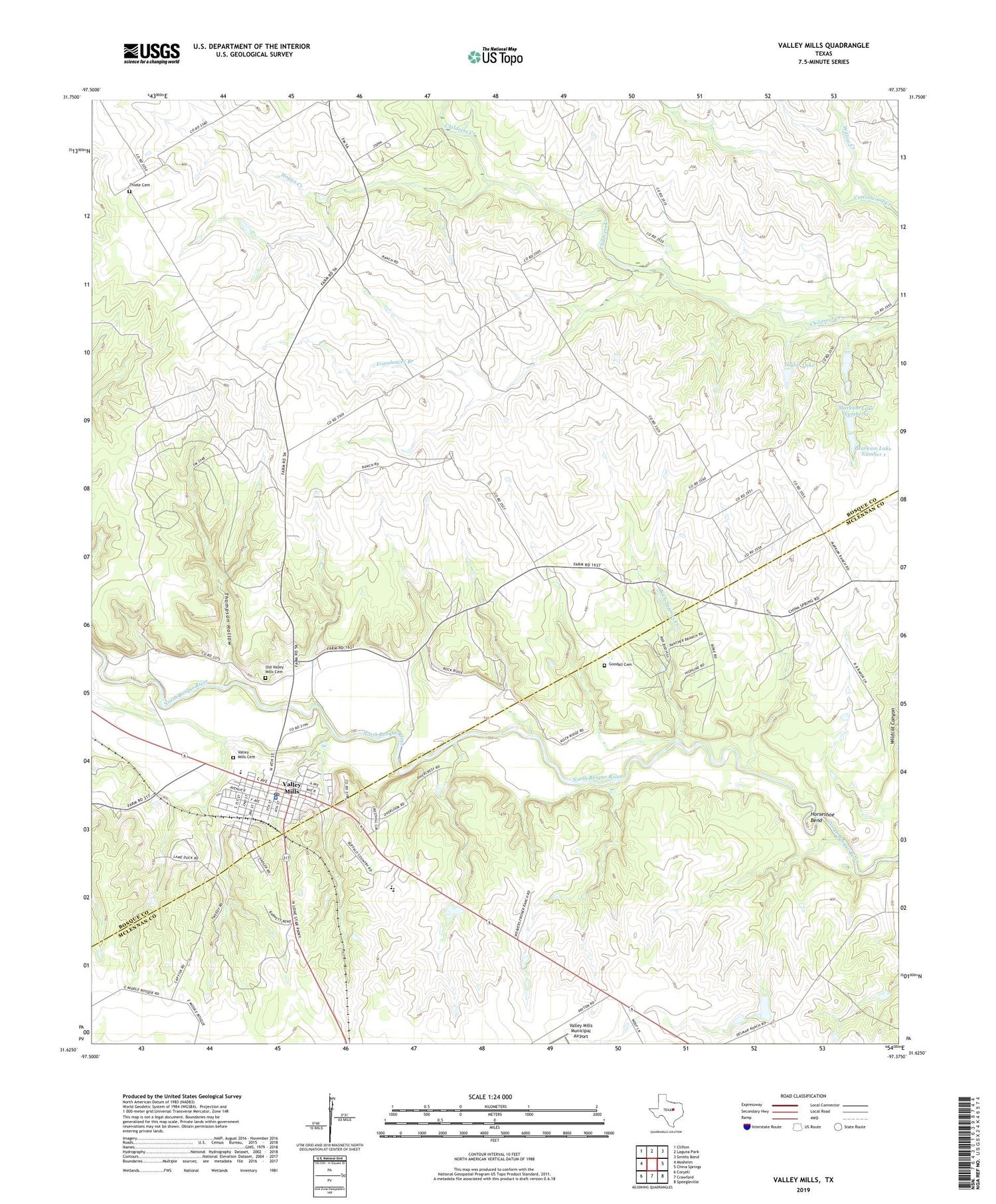
2019 topographic map quadrangle Valley Mills in the state of Texas. Scale: 1:24000. Based on the newly updated USGS 7.5' US Topo map series, this map is in the following counties: Bosque, McLennan. The map contains contour data, water features, and other items you are used to seeing on USGS maps, but also has updated roads and other features. This is the next generation of topographic maps. Printed on high-quality waterproof paper with UV fade-resistant inks.
Quads adjacent to this one:
West: Mosheim
Northwest: Clifton
North: Laguna Park
Northeast: Smiths Bend
East: China Springs
Southeast: Speegleville
South: Crawford
Southwest: Coryell
Contains the following named places: Bass Lake, Bass Lake Dam, City of Valley Mills, Cottonwood Creek, Delmar Ranch, Eisenhower Branch, Goodall Cemetery, Hall Lake, Hall Lake Dam, Hogan Creek, Horseshoe Bend, Markum Lake Number 1, Markum Lake Number 1 Dam, Markum Lake Number 2, Markum Lake Number 2 Dam, Old Valley Mills Cemetery, Rock Springs, Rock Springs Creek, Taylor Lake, Taylor Lake Dam, Thiele Cemetery, Thompson Hollow, Valley Mills, Valley Mills Cemetery, Valley Mills City Hall, Valley Mills Police Department, Valley Mills Post Office, Waco Boys Camp