
MyTopo
Vat Camp Texas US Topo Map
Couldn't load pickup availability
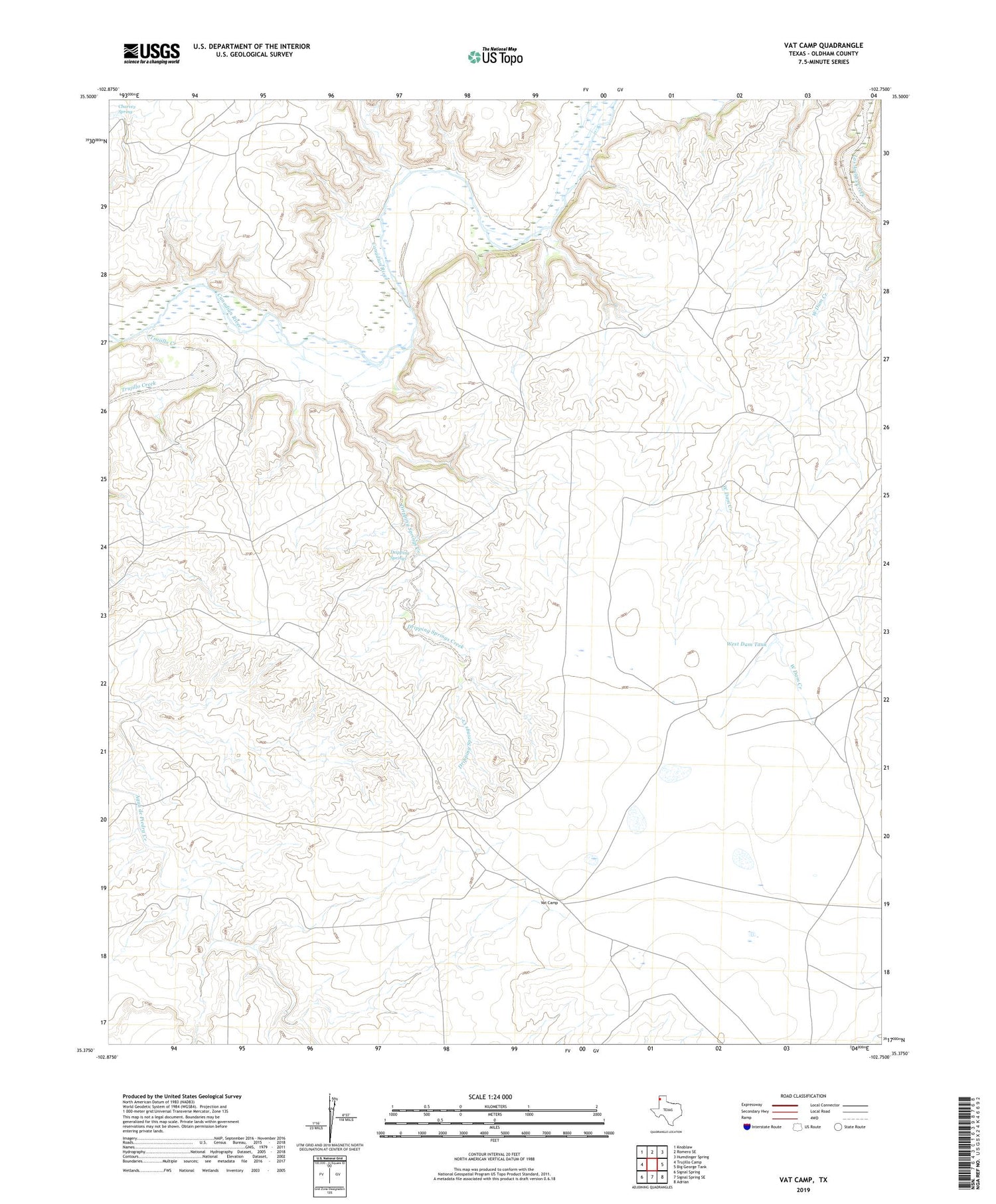
2019 topographic map quadrangle Vat Camp in the state of Texas. Scale: 1:24000. Based on the newly updated USGS 7.5' US Topo map series, this map is in the following counties: Oldham. The map contains contour data, water features, and other items you are used to seeing on USGS maps, but also has updated roads and other features. This is the next generation of topographic maps. Printed on high-quality waterproof paper with UV fade-resistant inks.
Quads adjacent to this one:
West: Trujillo Camp
Northwest: Knoblaw
North: Romero SE
Northeast: Humdinger Spring
East: Big George Tank
Southeast: Adrian
South: Signal Spring SE
Southwest: Signal Spring
Contains the following named places: Adrian Division, Canadian River Ranch Airport, Charvez Spring, Coleman Cattle Company Nr 2 Airport, Dripping Springs, Dripping Springs Creek, High Lonesome Windmill, Louis Windmill, Trujillo Creek, Vat Camp, West Dam Tank, West Dam Windmill


