MyTopo
Whites Ranch Texas US Topo Map
Couldn't load pickup availability
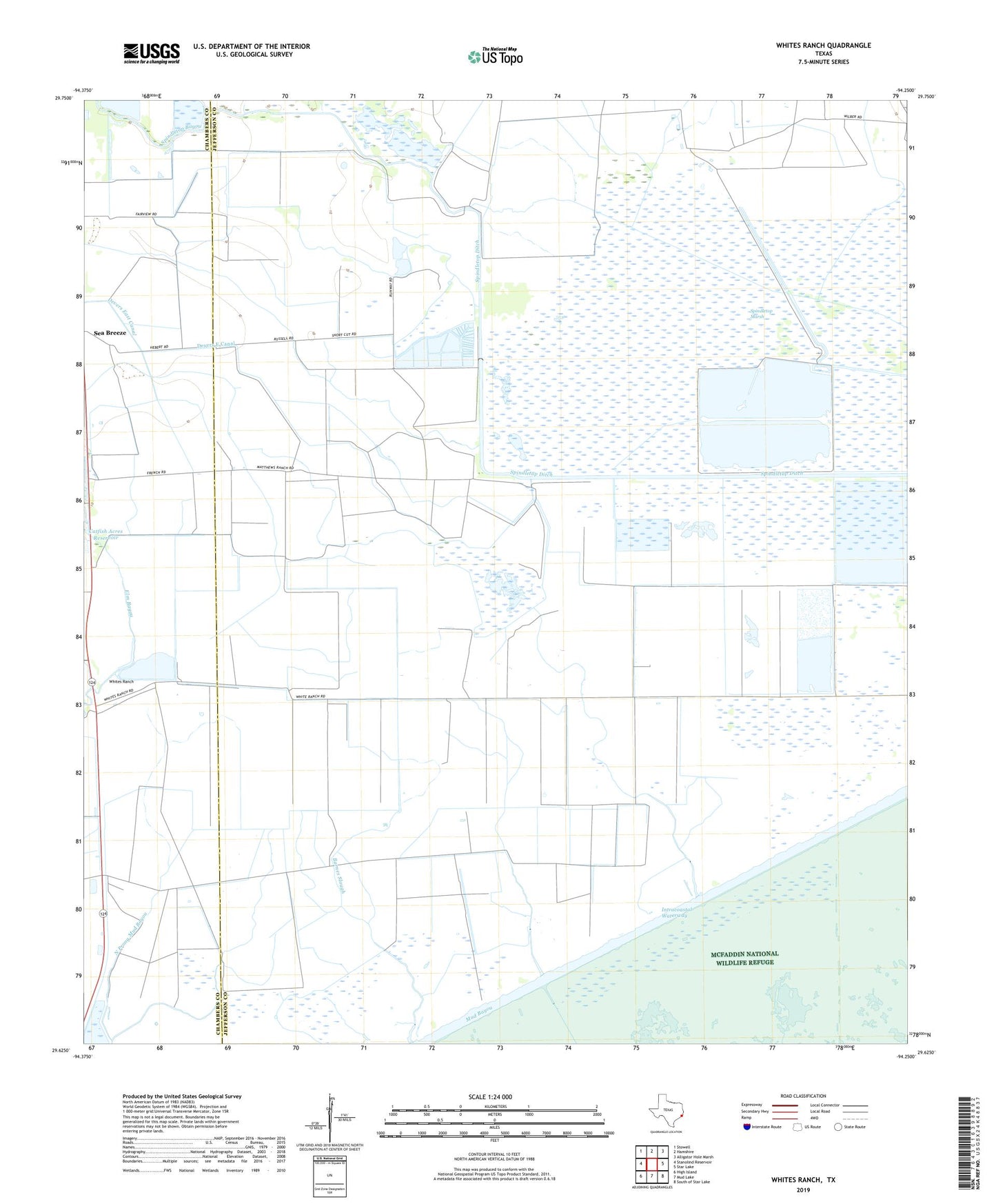
2019 topographic map quadrangle Whites Ranch in the state of Texas. Scale: 1:24000. Based on the newly updated USGS 7.5' US Topo map series, this map is in the following counties: Jefferson, Chambers. The map contains contour data, water features, and other items you are used to seeing on USGS maps, but also has updated roads and other features. This is the next generation of topographic maps. Printed on high-quality waterproof paper with UV fade-resistant inks.
Quads adjacent to this one:
West: Stanolind Reservoir
Northwest: Stowell
North: Hamshire
Northeast: Alligator Hole Marsh
East: Star Lake
Southeast: South of Star Lake
South: Mud Lake
Southwest: High Island
Contains the following named places: Catfish Acres Reservoir, Marshall Estate Dam Number 2, McBride Lake, McBride Lake Dam, Sea Breeze, Spindletop Bayou, Spindletop Ditch, Spindletop Marsh, Spindletop Weir Saltwater Barrier Dam, Whites Ranch