MyTopo
Stanolind Reservoir Texas US Topo Map
Couldn't load pickup availability
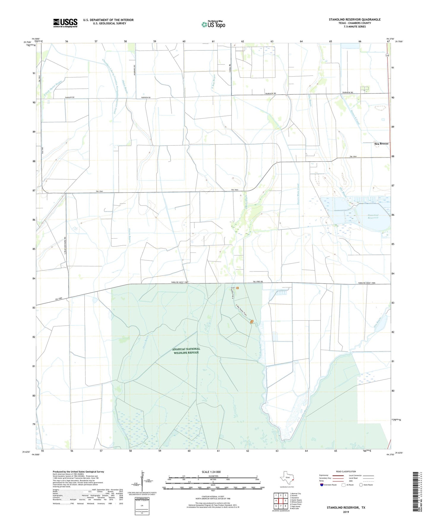
2025 topographic map quadrangle Stanolind Reservoir in the state of Texas. Scale: 1:24000. Based on the newly updated USGS 7.5' US Topo map series, this map is in the following counties: Chambers. The map contains contour data, water features, and other items you are used to seeing on USGS maps, but also has updated roads and other features. This is the next generation of topographic maps. Printed on high-quality waterproof paper with UV fade-resistant inks.
Quads adjacent to this one:
West: Oyster Bayou
Northwest: Monroe City
North: Stowell
Northeast: Hamshire
East: Whites Ranch
Southeast: Mud Lake
South: High Island
Southwest: Frozen Point
This map covers the same area as the classic USGS quad with code o29094f4.
Contains the following named places: Devers Main Canal, Elm Bayou, Kole Reservoir, Martrac Farms Dam, Stanolind Reservoir, William S Edwards Dam, Willow Slough Oil Field