MyTopo
Woodland Texas US Topo Map
Couldn't load pickup availability
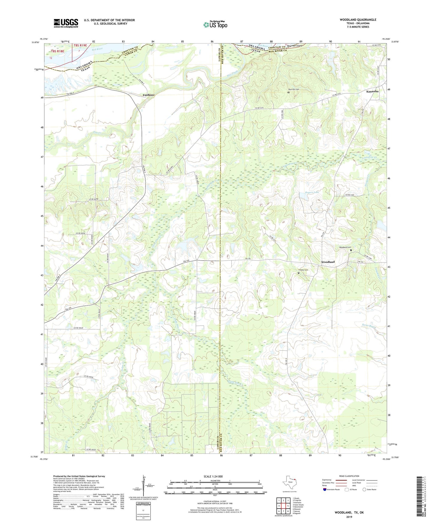
2022 topographic map quadrangle Woodland in the state of Texas. Scale: 1:24000. Based on the newly updated USGS 7.5' US Topo map series, this map is in the following counties: Lamar, Red River, Choctaw. The map contains contour data, water features, and other items you are used to seeing on USGS maps, but also has updated roads and other features. This is the next generation of topographic maps. Printed on high-quality waterproof paper with UV fade-resistant inks.
Quads adjacent to this one:
West: Slate Shoals
Northwest: Shoals
North: Frogville
Northeast: Kiomatia
East: Manchester
Southeast: Bagwell
South: Detroit
Southwest: Blossom
This map covers the same area as the classic USGS quad with code o33095g3.
Contains the following named places: Faulkner, Faulkner Church, Fought Creek, Hall Lake, Hall Lake Dam, Hickory Hill Church, Kanawha, Lone Star School, Nolan Creek, Pin Hook, Pine Creek, Pine Hill Cemetery, Pine Hill Church, Rogers Lake, Rogers Lake Dam, S David Ramsey Lake, S David Ramsey Lake Dam, Tinsley Cemetery, Ward School, Woodland, Woodland Cemetery