MyTopo
Bluff NW Utah US Topo Map
Couldn't load pickup availability
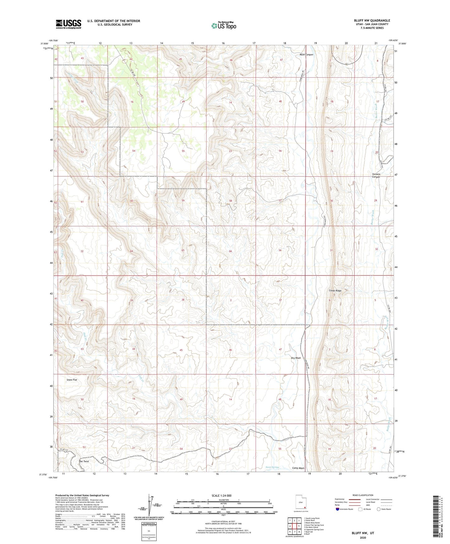
2023 topographic map quadrangle Bluff NW in the state of Utah. Scale: 1:24000. Based on the newly updated USGS 7.5' US Topo map series, this map is in the following counties: San Juan. The map contains contour data, water features, and other items you are used to seeing on USGS maps, but also has updated roads and other features. This is the next generation of topographic maps. Printed on high-quality waterproof paper with UV fade-resistant inks.
Quads adjacent to this one:
West: Snow Flat Spring Cave
Northwest: South Long Point
North: Hotel Rock
Northeast: Black Mesa Butte
East: No-Mans Island
Southeast: Bluff
South: Bluff SW
Southwest: Cigarette Spring Cave
This map covers the same area as the classic USGS quad with code o37109d6.
Contains the following named places: Comb Ridge, Dry Wash, Fish Creek, Mule Canyon, Owl Creek, Picket Fork, Stevens Canyon, Sweet Springs, The Twist