MyTopo
Black Mesa Butte Utah US Topo Map
Couldn't load pickup availability
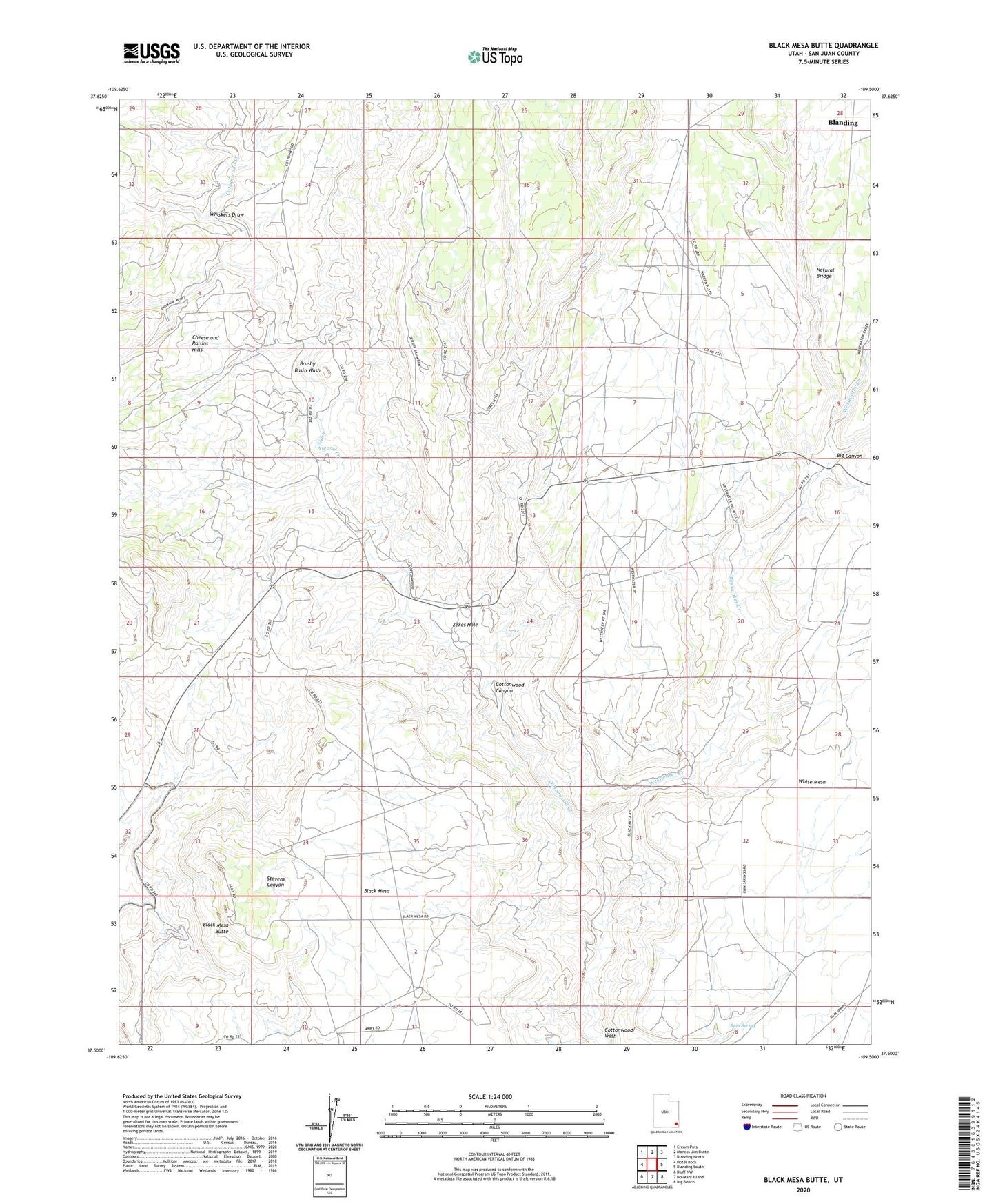
2023 topographic map quadrangle Black Mesa Butte in the state of Utah. Scale: 1:24000. Based on the newly updated USGS 7.5' US Topo map series, this map is in the following counties: San Juan. The map contains contour data, water features, and other items you are used to seeing on USGS maps, but also has updated roads and other features. This is the next generation of topographic maps. Printed on high-quality waterproof paper with UV fade-resistant inks.
Quads adjacent to this one:
West: Hotel Rock
Northwest: Cream Pots
North: Mancos Jim Butte
Northeast: Blanding North
East: Blanding South
Southeast: Big Bench
South: No-Mans Island
Southwest: Bluff NW
This map covers the same area as the classic USGS quad with code o37109e5.
Contains the following named places: Big Canyon, Black Mesa Butte, Brushy Basin Wash, Cheese and Raisins Hills, City of Blanding, Cottonwood Canyon, Ford Mine Shaft, Natural Bridge, Ruin Spring, Westwater Creek, Whiskers Draw, Zekes Hole