MyTopo
Heiners Creek Utah US Topo Map
Couldn't load pickup availability
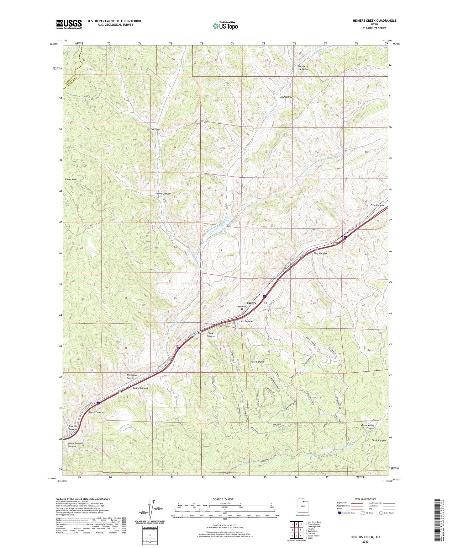
2023 topographic map quadrangle Heiners Creek in the state of Utah. Scale: 1:24000. Based on the newly updated USGS 7.5' US Topo map series, this map is in the following counties: Summit, Morgan. The map contains contour data, water features, and other items you are used to seeing on USGS maps, but also has updated roads and other features. This is the next generation of topographic maps. Printed on high-quality waterproof paper with UV fade-resistant inks.
Quads adjacent to this one:
West: Henefer
Northwest: Lost Creek Dam
North: Francis Canyon
Northeast: Shearing Corral
East: Castle Rock
Southeast: Upton
South: Turner Hollow
Southwest: Coalville
This map covers the same area as the classic USGS quad with code o41111a3.
Contains the following named places: Emory, Emory Cemetery, Heiners Creek, Hollow of the Holes, Lard Canyon, Left Fork Heiners Creek, Little Sawmill Canyon, Pole Canyon, Sawmill Canyon, Shed Hollow, Signal Canyon, South Fork Heiners Creek, Spring Canyon, Stag Canyon, Tank Canyon, Thirtyfive Canyon, Wolf Hollow, Wood Canyon