
MyTopo
Cooper Canyon Utah US Topo Map
Couldn't load pickup availability
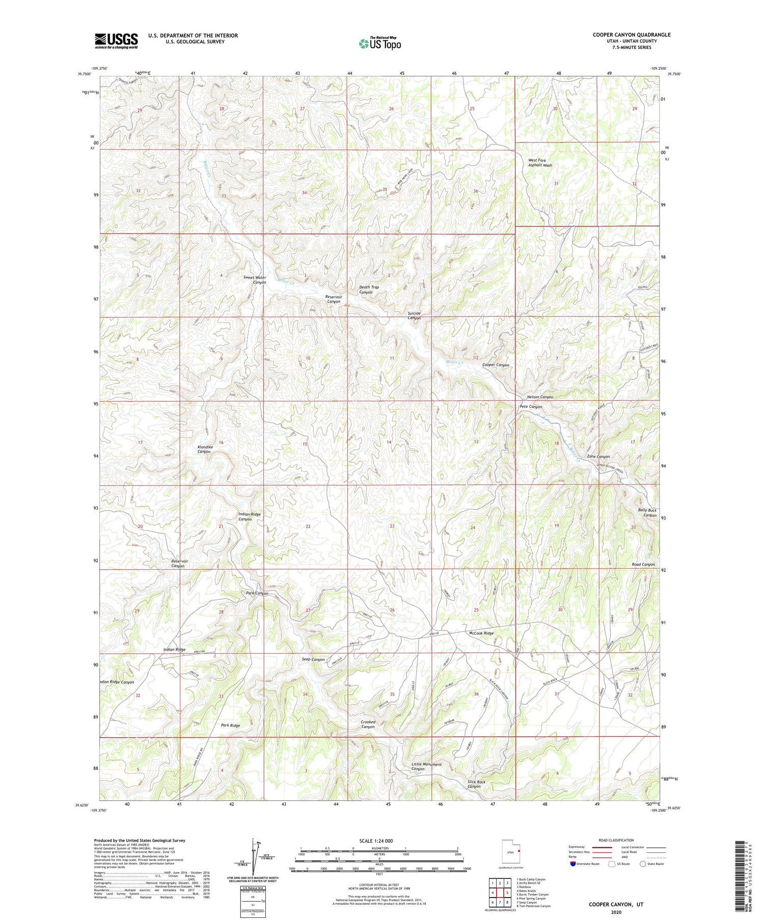
2020 topographic map quadrangle Cooper Canyon in the state of Utah. Scale: 1:24000. Based on the newly updated USGS 7.5' US Topo map series, this map is in the following counties: Uintah. The map contains contour data, water features, and other items you are used to seeing on USGS maps, but also has updated roads and other features. This is the next generation of topographic maps. Printed on high-quality waterproof paper with UV fade-resistant inks.
Quads adjacent to this one:
West: Bates Knolls
Northwest: Buck Camp Canyon
North: Archy Bench SE
Northeast: Rainbow
East: Burnt Timber Canyon
Southeast: Tom Patterson Canyon
South: Seep Canyon
Southwest: Pine Spring Canyon
Contains the following named places: Bally Buck Canyon, Cooper Canyon, Crooked Canyon, Death Trap Canyon, Indian Ridge Canyon, Klondike Canyon, Little Monument Canyon, Nelson Canyon, Park Canyon, Pete Canyon, Reservoir Canyon, Road Canyon, Seep Canyon, Slick Rock Canyon, Suicide Canyon, Sweet Water Canyon, Zane Canyon


