MyTopo
Cove Fort Utah US Topo Map
Couldn't load pickup availability
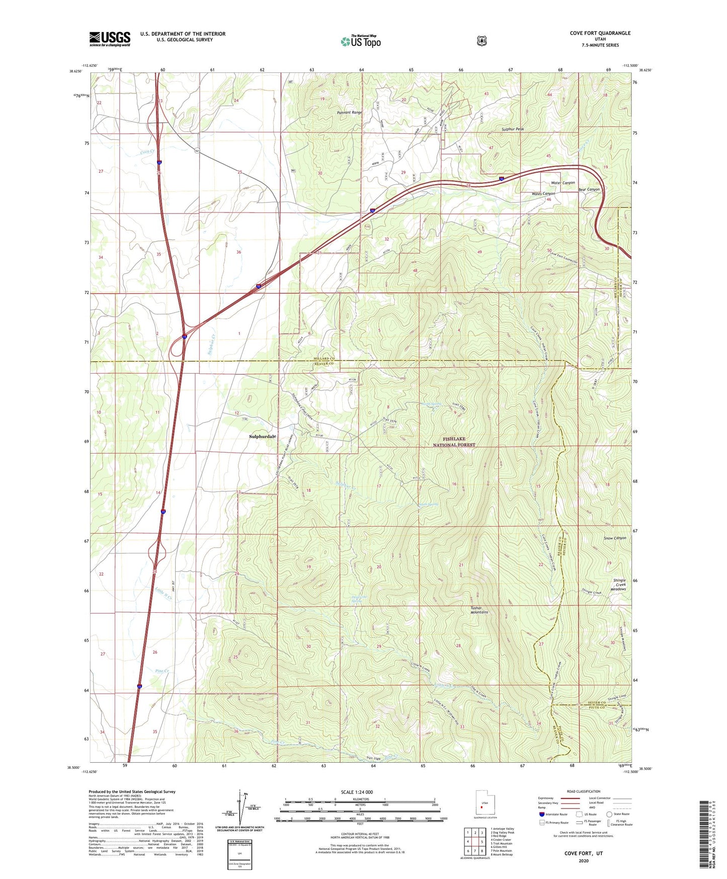
2020 topographic map quadrangle Cove Fort in the state of Utah. Scale: 1:24000. Based on the newly updated USGS 7.5' US Topo map series, this map is in the following counties: Beaver, Millard, Sevier, Piute. The map contains contour data, water features, and other items you are used to seeing on USGS maps, but also has updated roads and other features. This is the next generation of topographic maps. Printed on high-quality waterproof paper with UV fade-resistant inks.
Quads adjacent to this one:
West: Cinder Crater
Northwest: Antelope Valley
North: Dog Valley Peak
Northeast: Red Ridge
East: Trail Mountain
Southeast: Mount Belknap
South: Pole Mountain
Southwest: Gillies Hill
Contains the following named places: Bear Canyon, Cove Fort, Dead Cow Spring, Little North Creek, North Spring, Old Cove Fort, Pine Creek, South Fork Pine Creek, South Spring, Sulphur Creek, Sulphur Peak, Sulphurdale, Water Canyon