MyTopo
Dry Willow Peak Utah US Topo Map
Couldn't load pickup availability
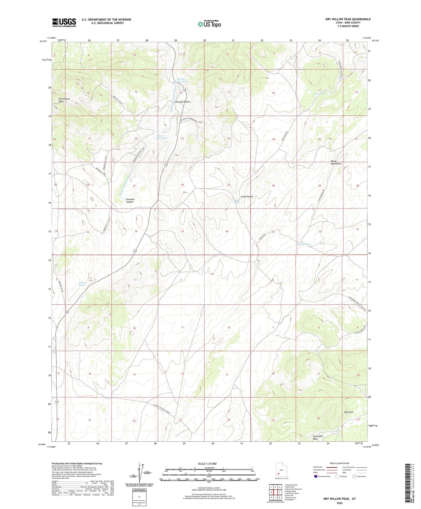
2023 topographic map quadrangle Dry Willow Peak in the state of Utah. Scale: 1:24000. Based on the newly updated USGS 7.5' US Topo map series, this map is in the following counties: Iron. The map contains contour data, water features, and other items you are used to seeing on USGS maps, but also has updated roads and other features. This is the next generation of topographic maps. Printed on high-quality waterproof paper with UV fade-resistant inks.
Quads adjacent to this one:
West: Baboon Peak
Northwest: Ninemile Knoll
North: Minersville
Northeast: Minersville Reservoir
East: Jack Henry Knoll
Southeast: Paragonah
South: Parowan Gap
Southwest: Enoch NE
This map covers the same area as the classic USGS quad with code o38112a8.
Contains the following named places: Black Mountains, Burnt Spot Pond, Cedar Pond, Coyote Pond, District Pond, Dry Willow Peak, Penney Hollow, Penney Hollow Pond, Tebbs Pond